Nevada's Lake Mead has been a source of much fascination for me—from the construction of the Hoover Dam (which formed the lake out of the waters of the Colorado River) to the flooding of nearby towns (like St. Thomas).
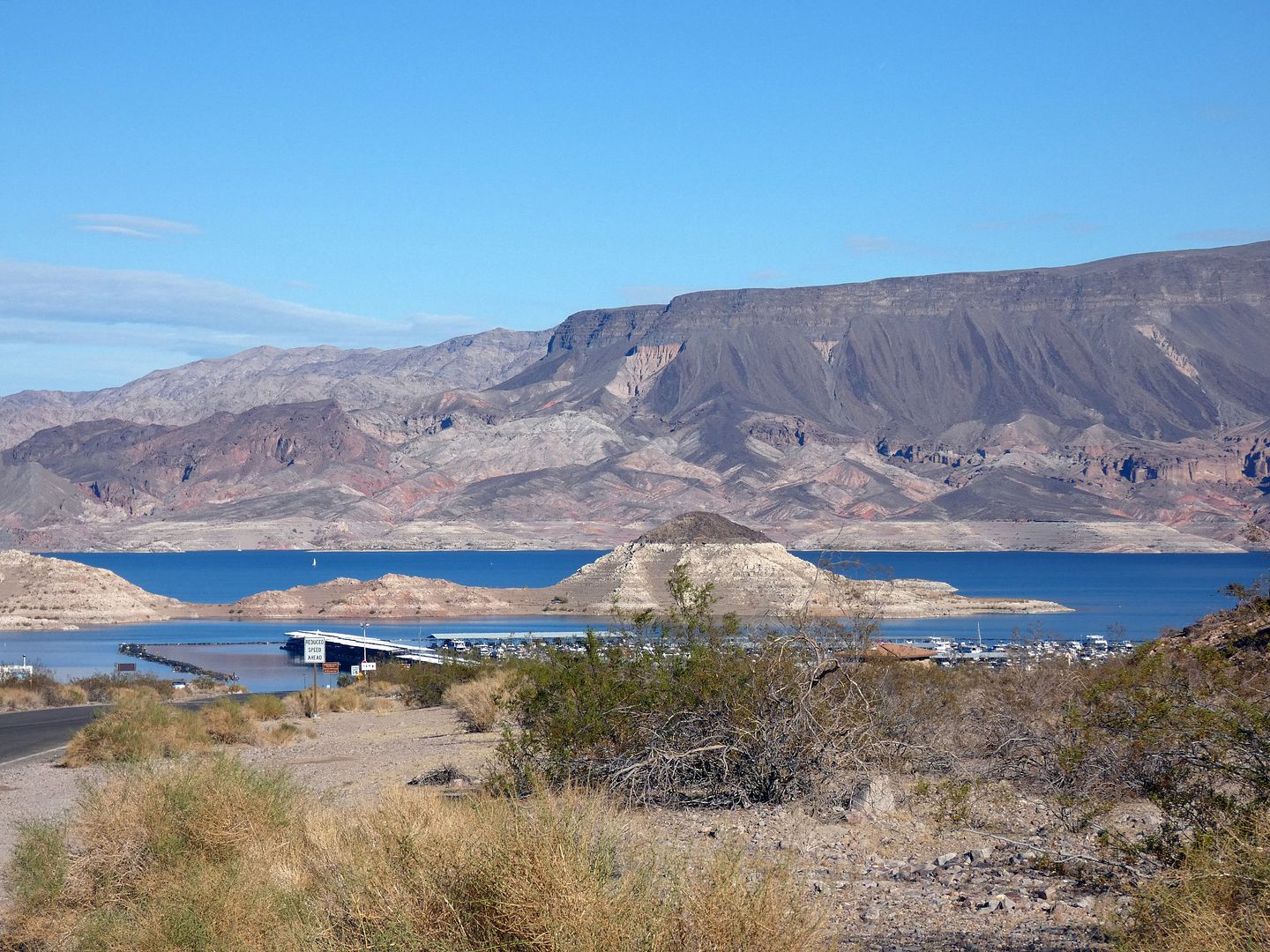
But while I'd spent some time around the lake—peering at it from a zipline at Bootleg Canyon, hiking around it through decommissioned railroad tunnels, even looking down at it from the dam itself—I hadn't yet had the chance to explore the lake from the lake itself.

Fortunately, Lake Mead Cruises offer guided boat tours of what is actually North America's biggest man-made reservoir—and, specifically, the area south of the Hoover Dam.

Spending Thanksgiving nearby was the perfect excuse to get a ticket to climb aboard the Desert Princess, a paddlewheeler boat built in 1991.
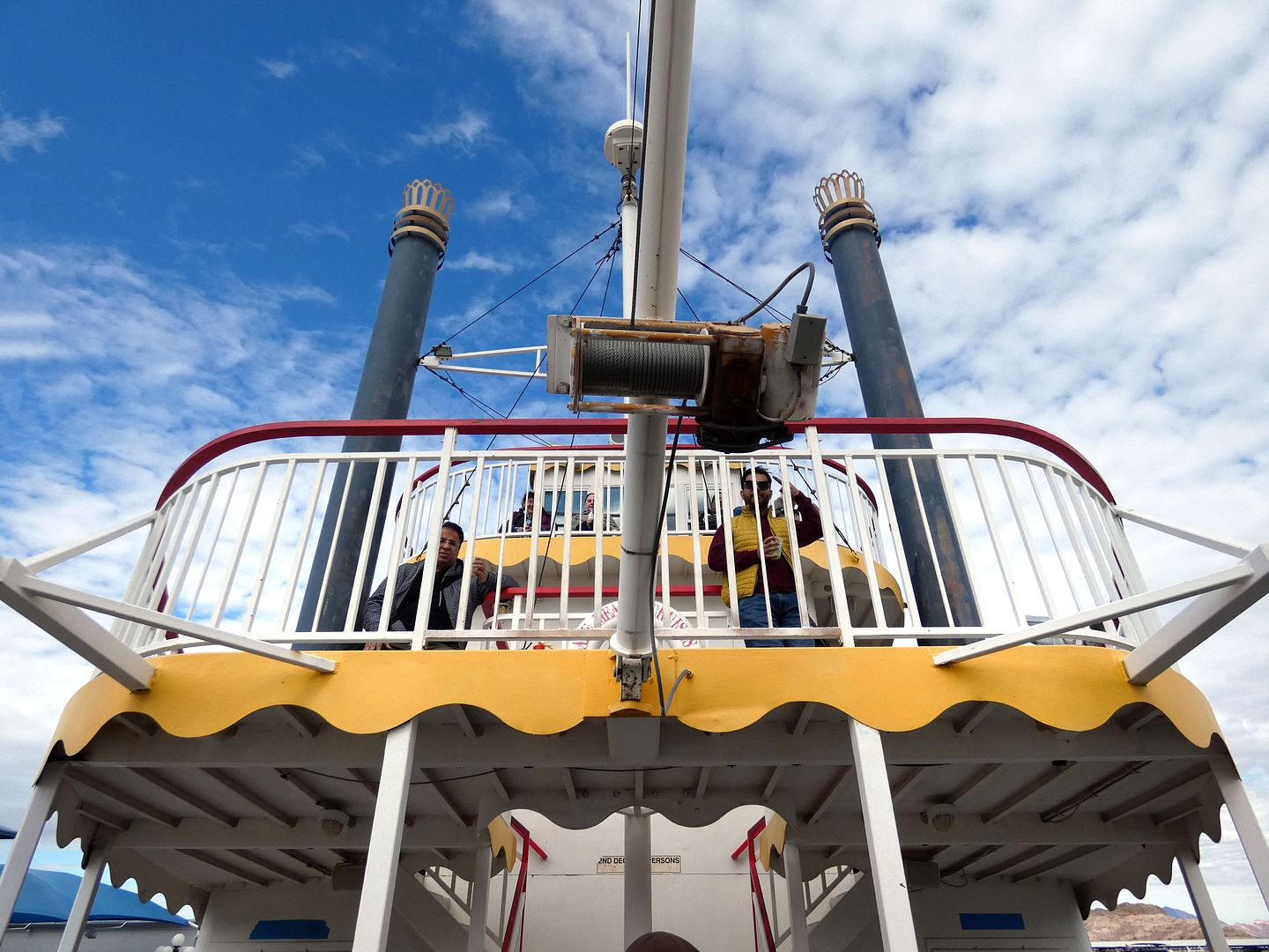
It's the type of vessel you'd more likely expect to see cruising a river and not a lake...

...but its three levels (including an open-air promenade) provided some really good vantage points from which to see (and document) all the sights.

The cruises depart from the marina at the southern shore of the lake, in an area called Horsepower Cove...

...and travel through the scenic Hemenway Harbor, where boaters can launch their personal watercraft, too.

We even spotted a sailboat in the distance, floating white in stark contrast to the dark waters below (which look blue from above) and the rainbow of geology behind it.
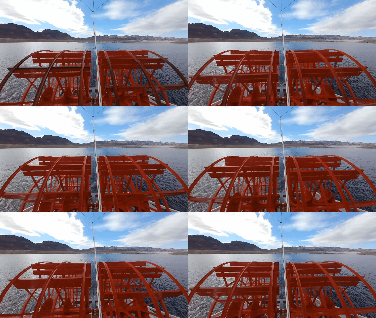
We had a bit more than windpower to propel us forward...

...past Rock Island, Little and Big Boulder Island, and Oberlink Island, which has become more visible with the lower water levels of the lake.

In the area surrounding the lake, there are signs of tectonic uplift in the jagged edges of the mountainous terrain—and the visible striations in the rock are formed by sedimentary layers that include some ash from volcanic eruptions (likely ones outside of Southern Nevada, according to the Geological Society of America).

As we headed away from the Nevada side of the lake...

...and towards the Arizona side, past the peninsula that's home to Promontory Point...

...we began to round the bend to follow the old path of the Colorado River, heading what was once downstream.
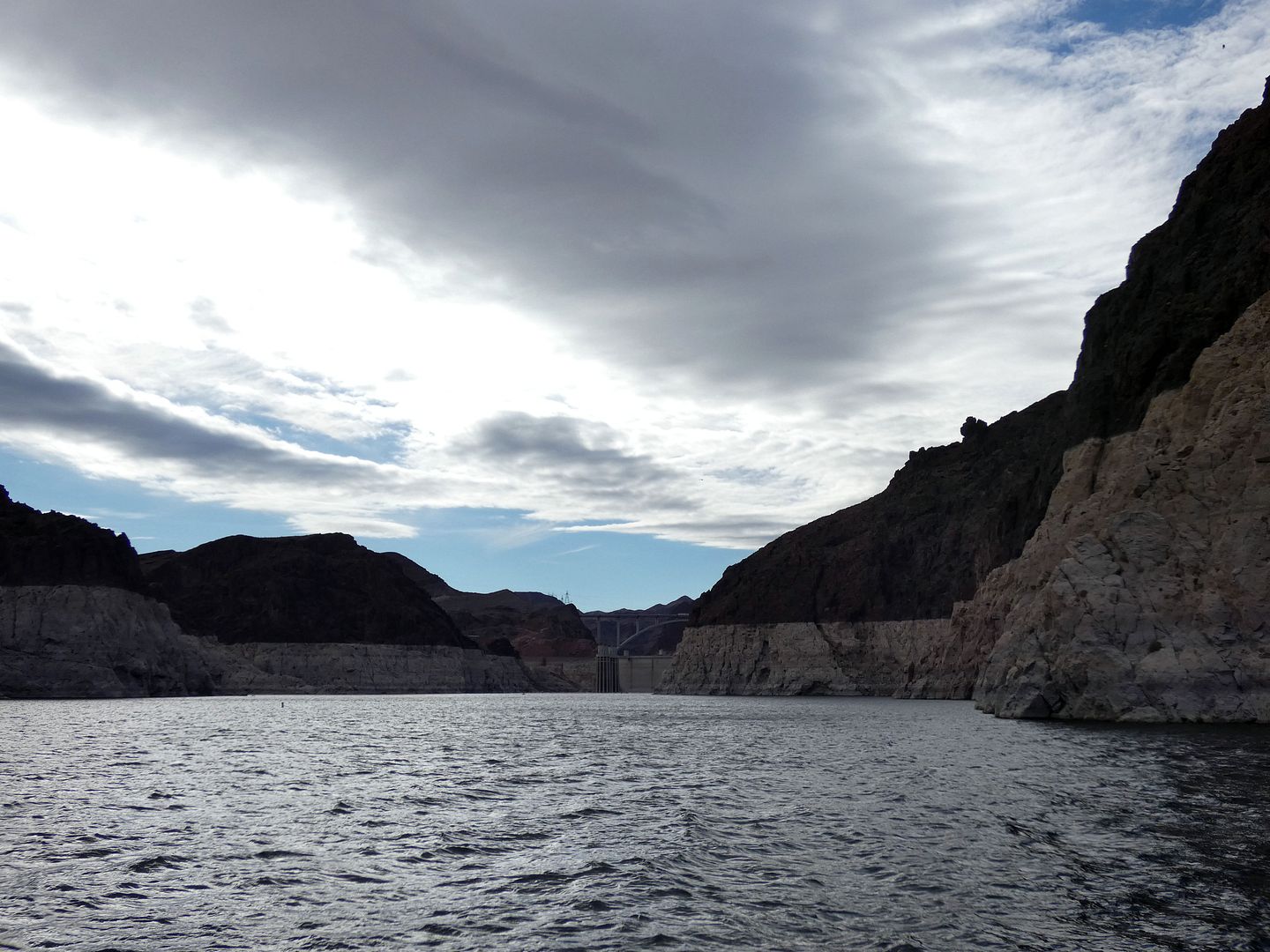
Once we cleared Cape Horn, with mineral-stained rocks on either side of us showing the old water line (or "bathtub ring") from when levels were higher...

...the north side (a.k.a. the Nevada side) of the Hoover Dam came into view.

It's not the same stunner of a view as the south (or Arizona) side, with that dramatic slope, but it's interesting to get so close to it—even to the back of it—and to see the cylindrical intake towers that help control water flow and divert water for the creation of hydroelectric power.

It had been a pretty gloomy November noon when we set off on our aquatic journey—but as we turned around to head back, the sun began to come out.

On our return journey along the Nevada-Arizona state line, we literally saw everything in a new light (although we still didn't spot any bighorn sheep in the area they're known to frequent).

The narrated cruise takes about an hour and a half, and it shows just a fraction of the lake and its shore...

...some of which can be explored on land via frontcountry and backcountry hiking trails.
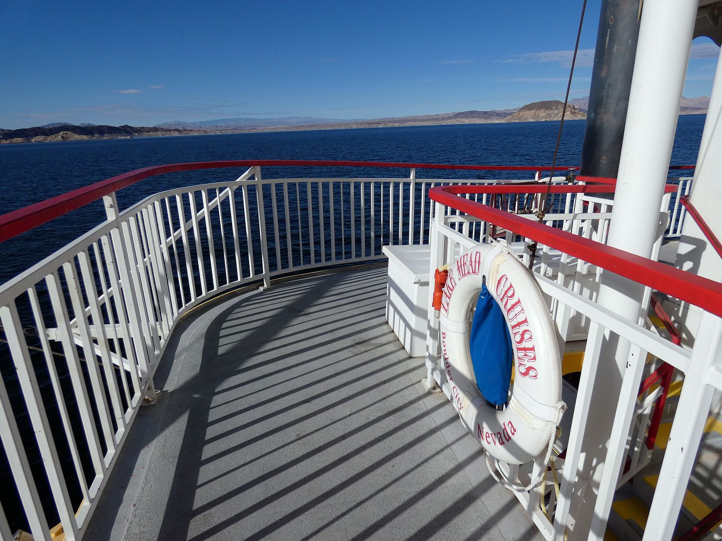
It's kind of nice to let somebody else do the navigating, though. 

Taking the cruise on Thanksgiving Eve proved to be perfect timing, as Lake Mead Cruises closed for the season on November 30 and was closed for Thanksgiving the day prior.
I now have some more land exploring to do. And of course I've still got to go back and take the full Hoover Dam tour (which I hope to do when I'm back in Vegas in Spring 2025).
And I hope to kayak Lake Mead's Emerald Cave some day, too.
Related Posts:

No comments:
Post a Comment