I seem to visit Valley of Fire every 11 or 12 years—my first time in February 2001, my second in October 2013, and my most recent in November 2024. But since it spans a whopping 40,000 acres, there was plenty more I could see.
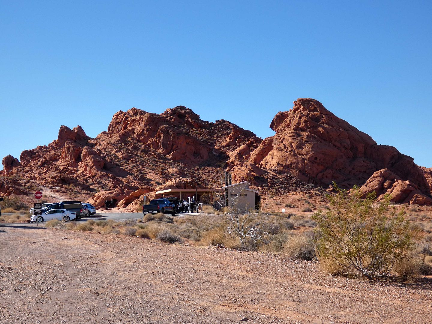
This time I was at the eastern end of it, staying at a hotel in Moapa Valley and entering the park from the Northshore Road Toll Gate off Highway 169.
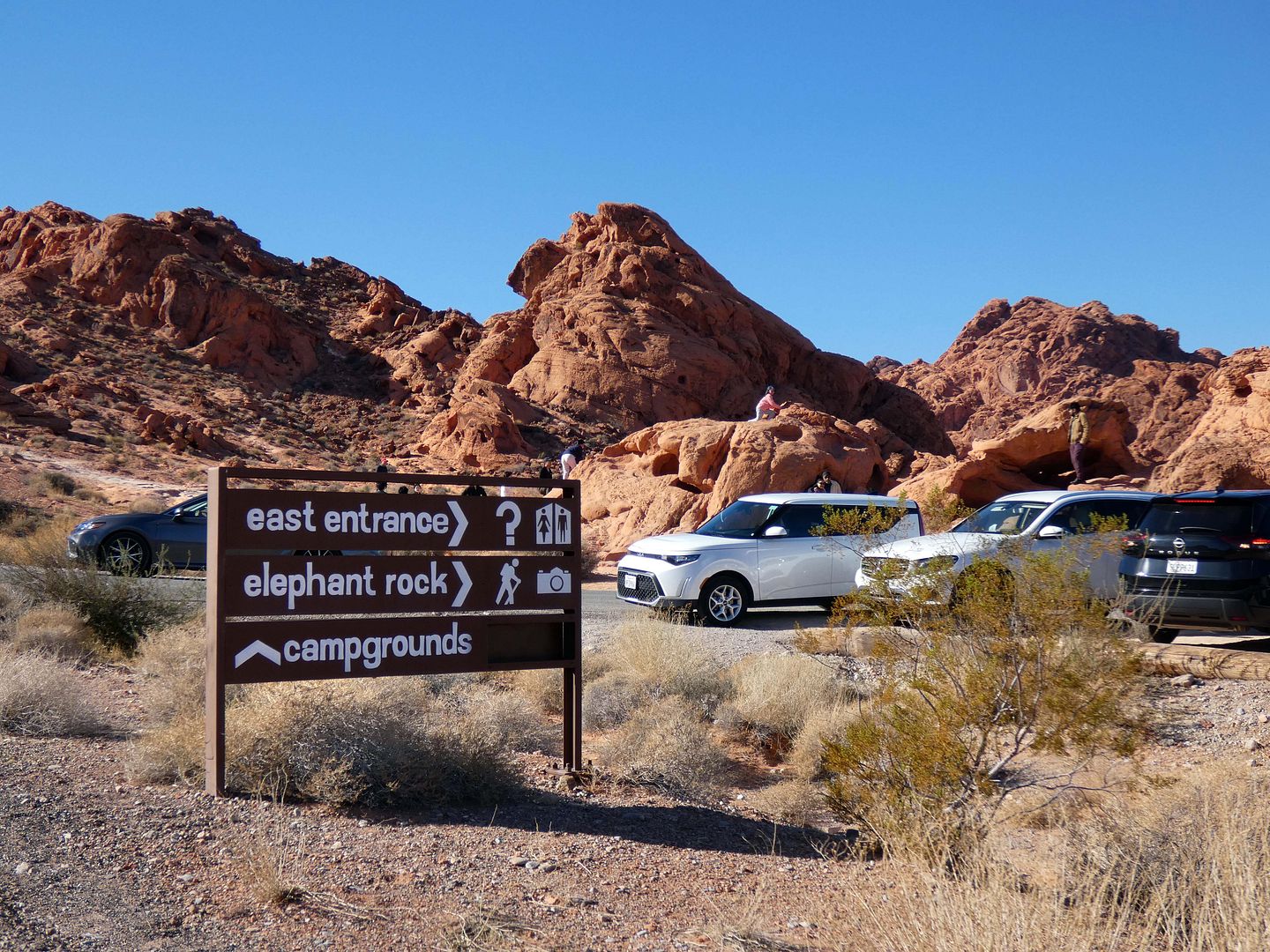
Heading west toward the campsite where we were meeting family for Thanksgiving dinner, we spotted a few desert oddities...
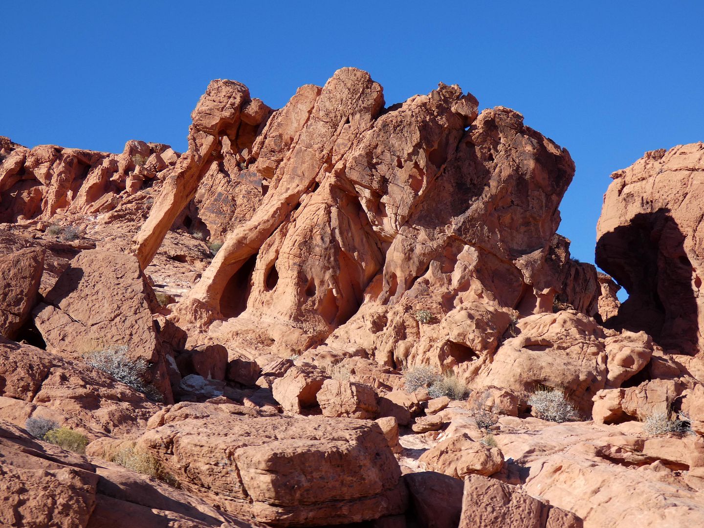
...like Elephant Rock, a sandstone formation with an obvious "trunk" and "leg" (although you could just as soon call it "AT-AT Walker" if you're a Star Wars franchise fan).
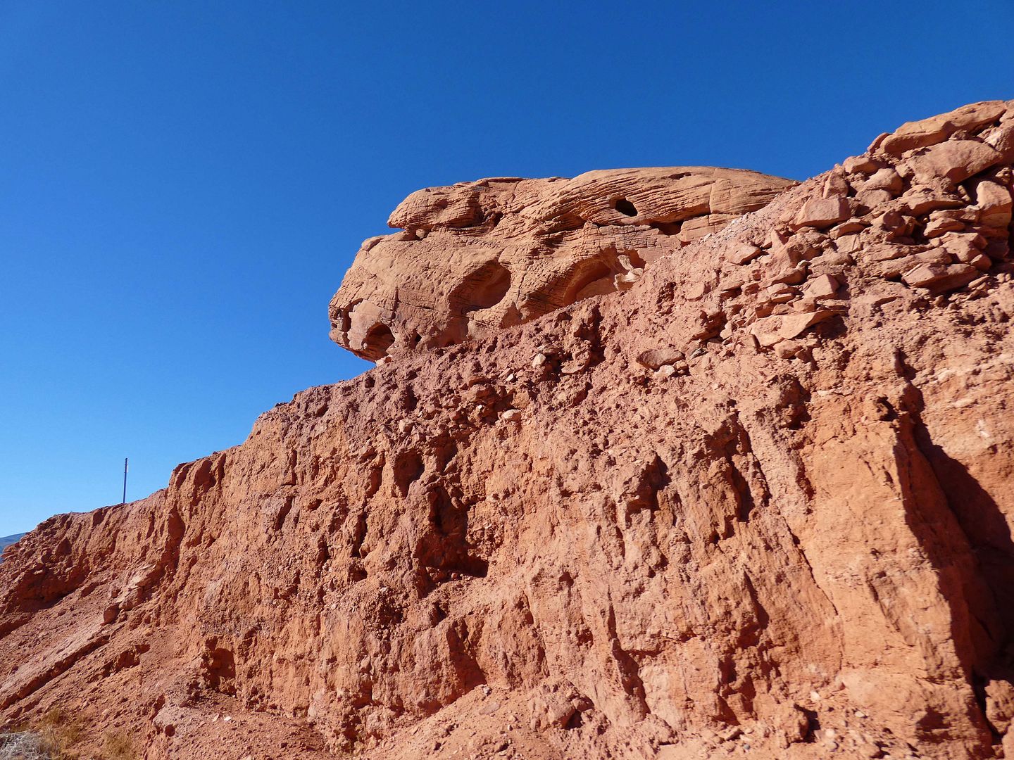
In the desert, rockspotting is much like cloudspotting, trying to make sense of natural chaos into some tableau of organized images.
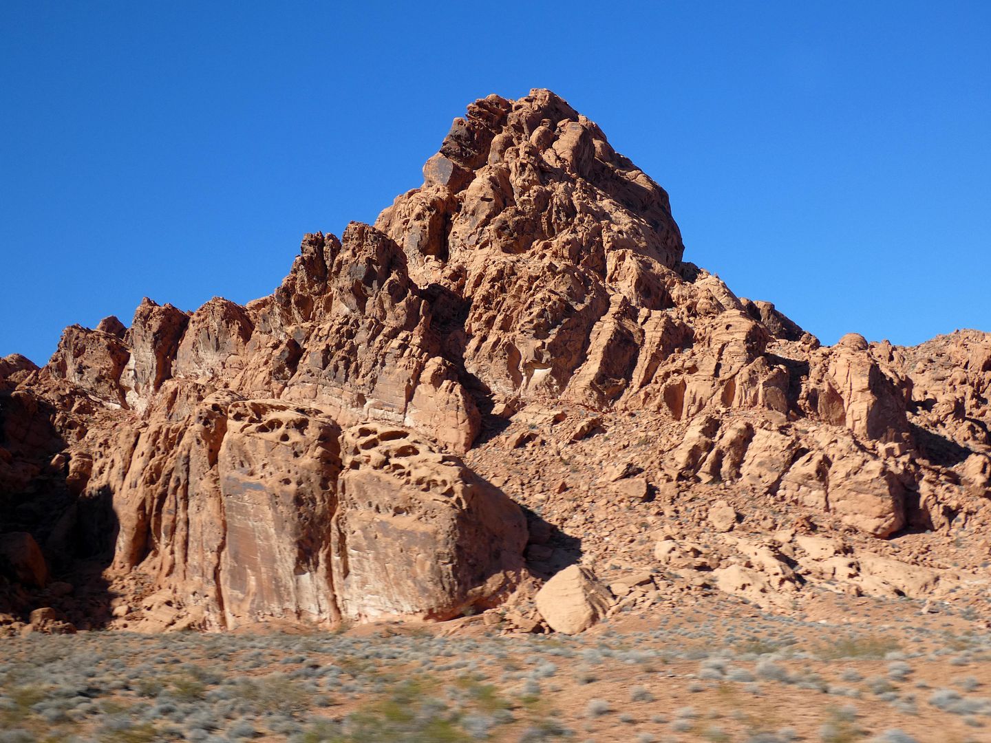
The sandstone here—specifically, Aztec Sandstone—is the same kind found in Red Rock Canyon on the other side of Vegas, but somehow it looks so much crazier here.
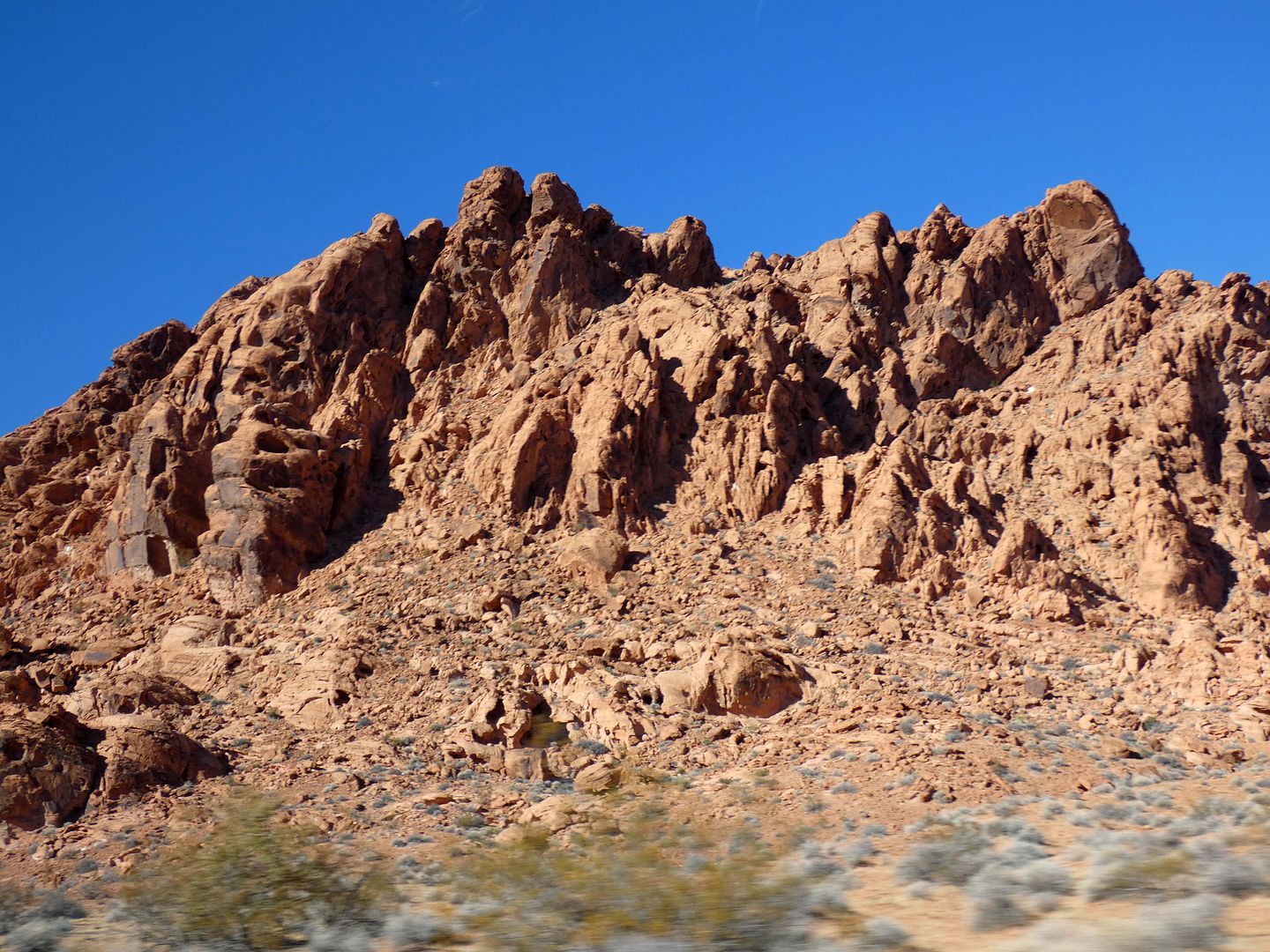
It was formed in the Early Jurassic period, likely 180 to 190 million years ago, when ancient sand dunes turned into solid rock. It gets its red color from iron oxides out of the original grains of sand (which essentially "rusted").
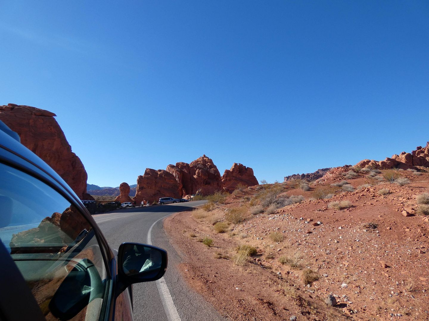
Geological points of interest are situated along both sides of the Valley of Fire Highway...
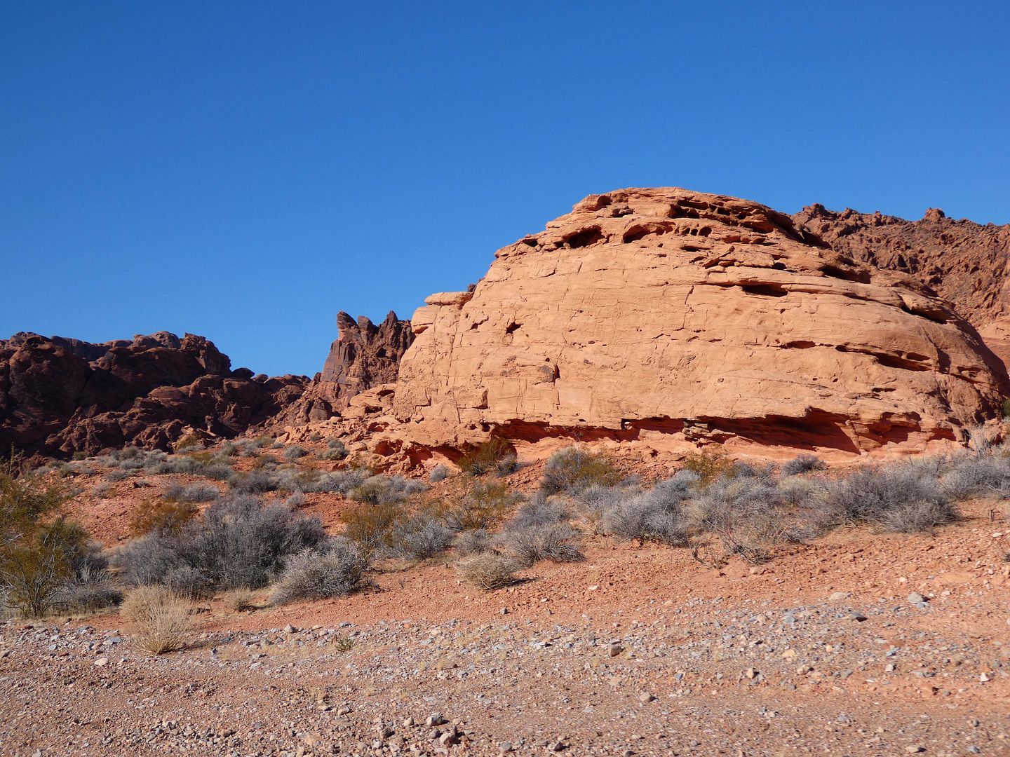
...not always named based on what they look like...
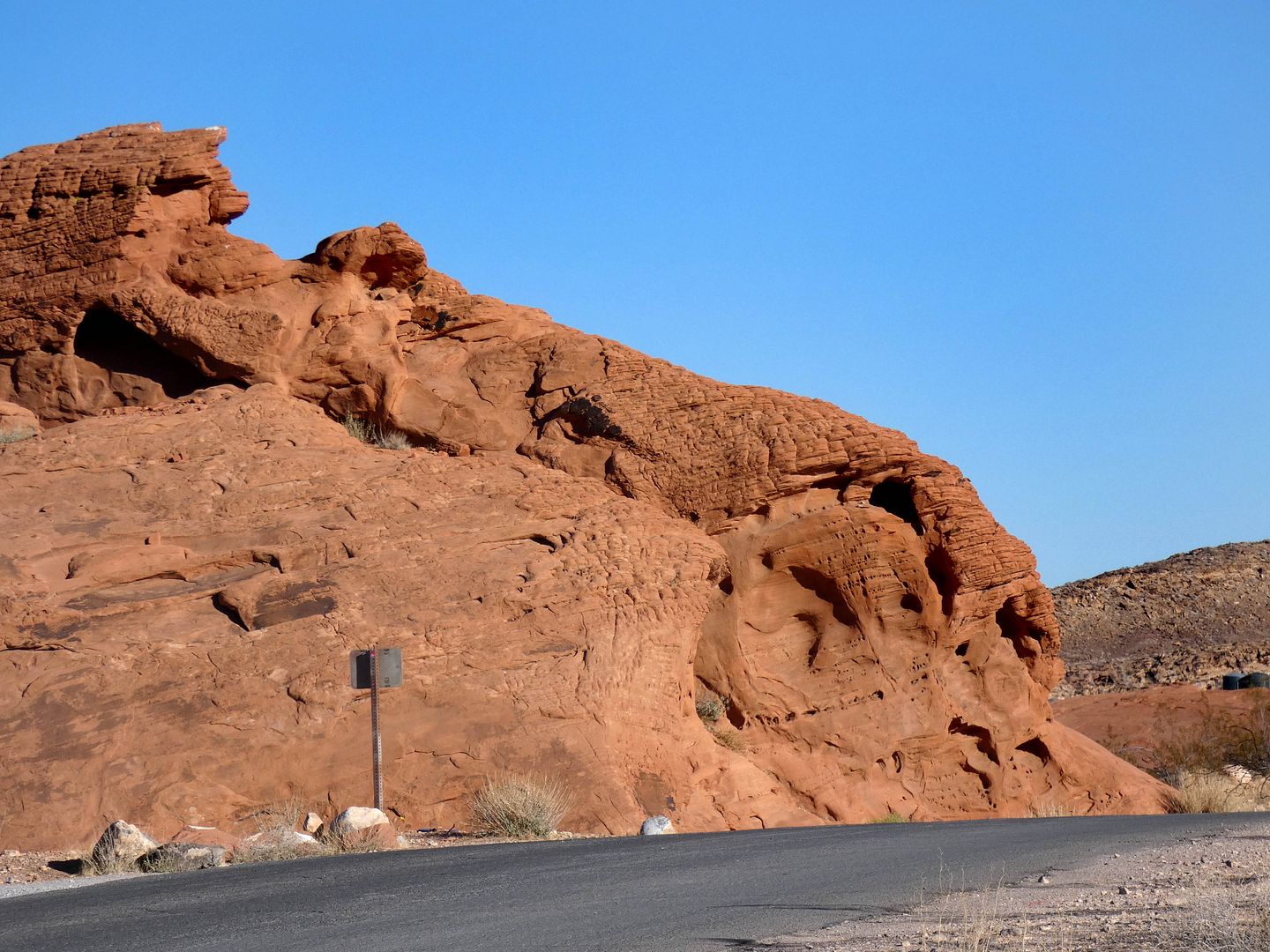

...and sometimes shifting shapes depending on your angle of approach and the position of the sun and the shadows it casts. 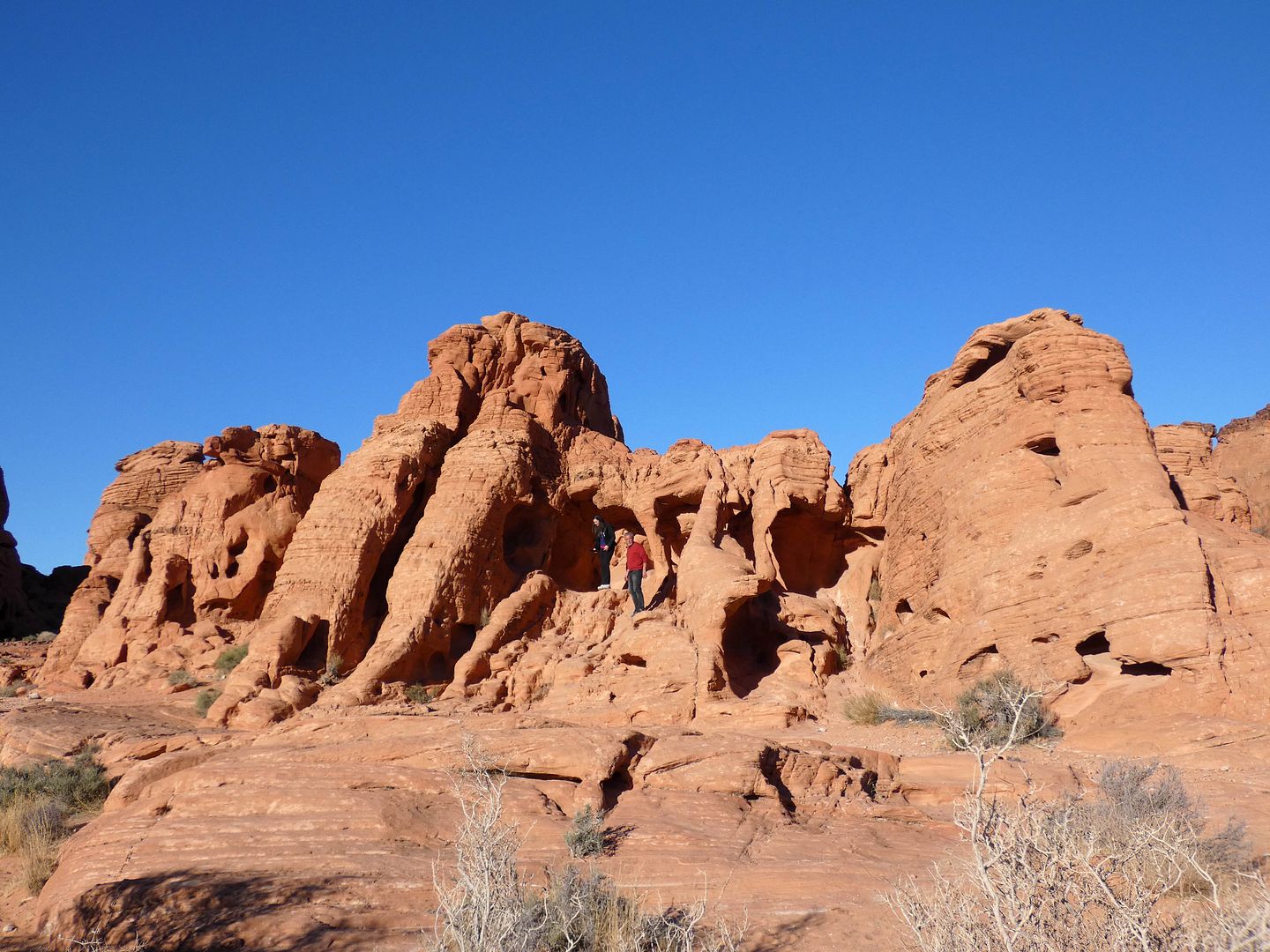
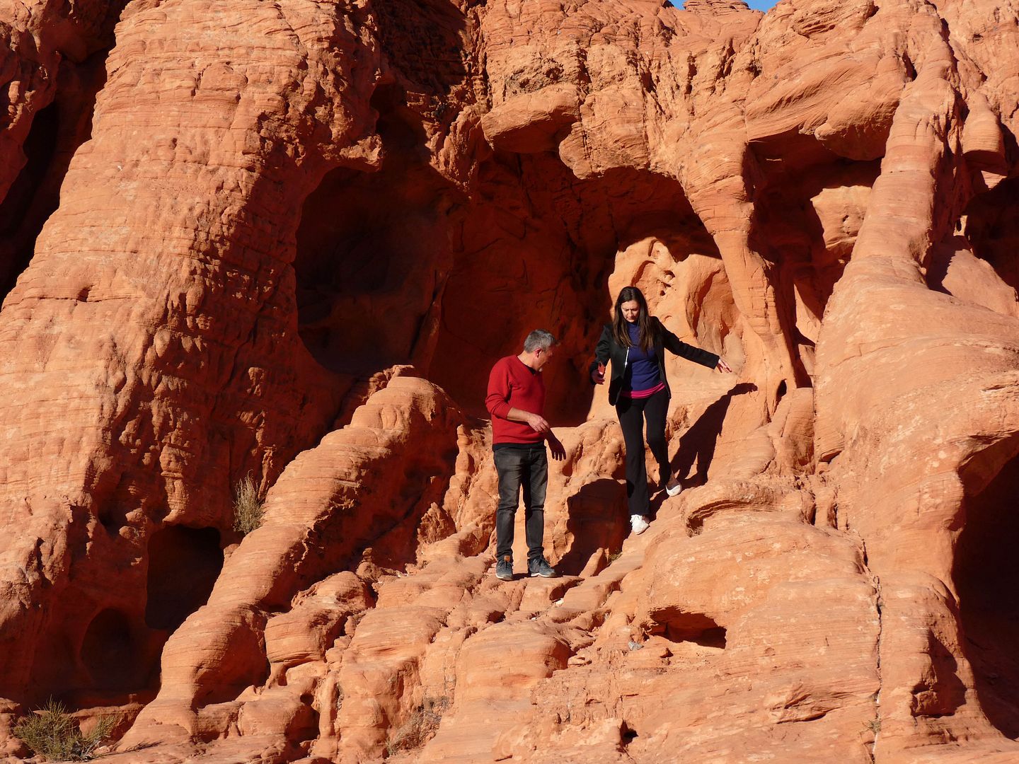
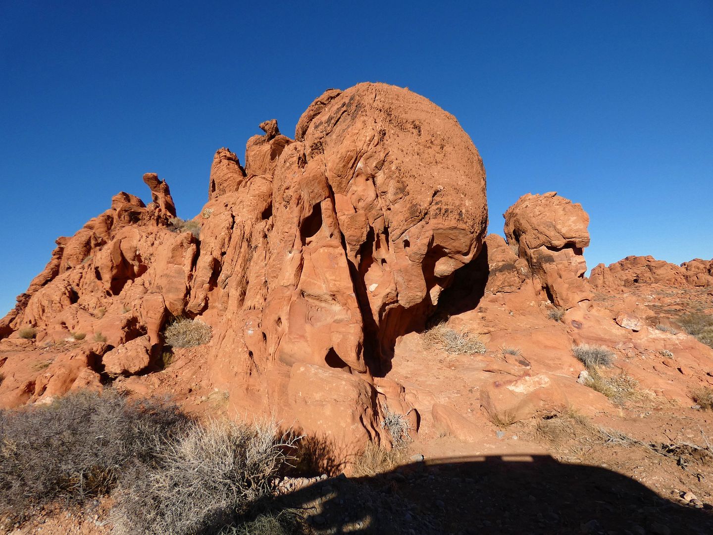
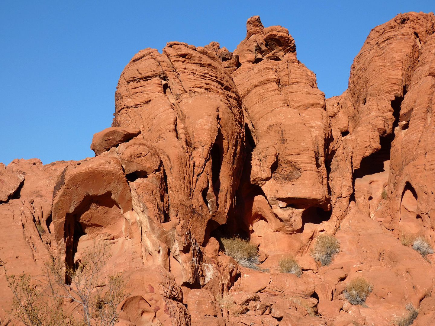
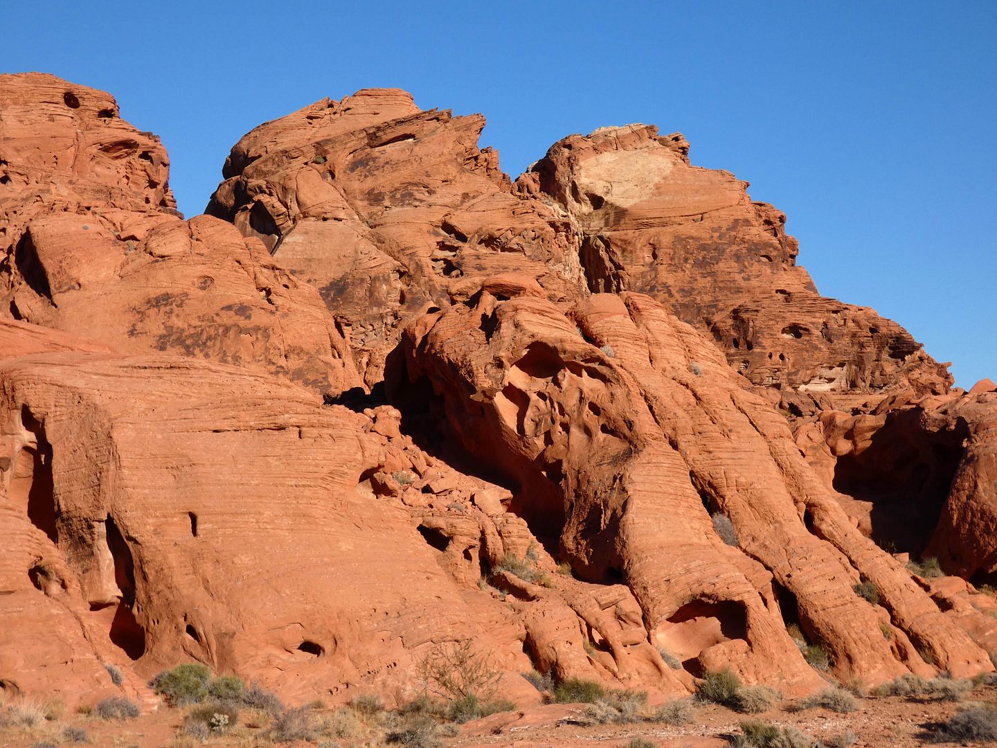
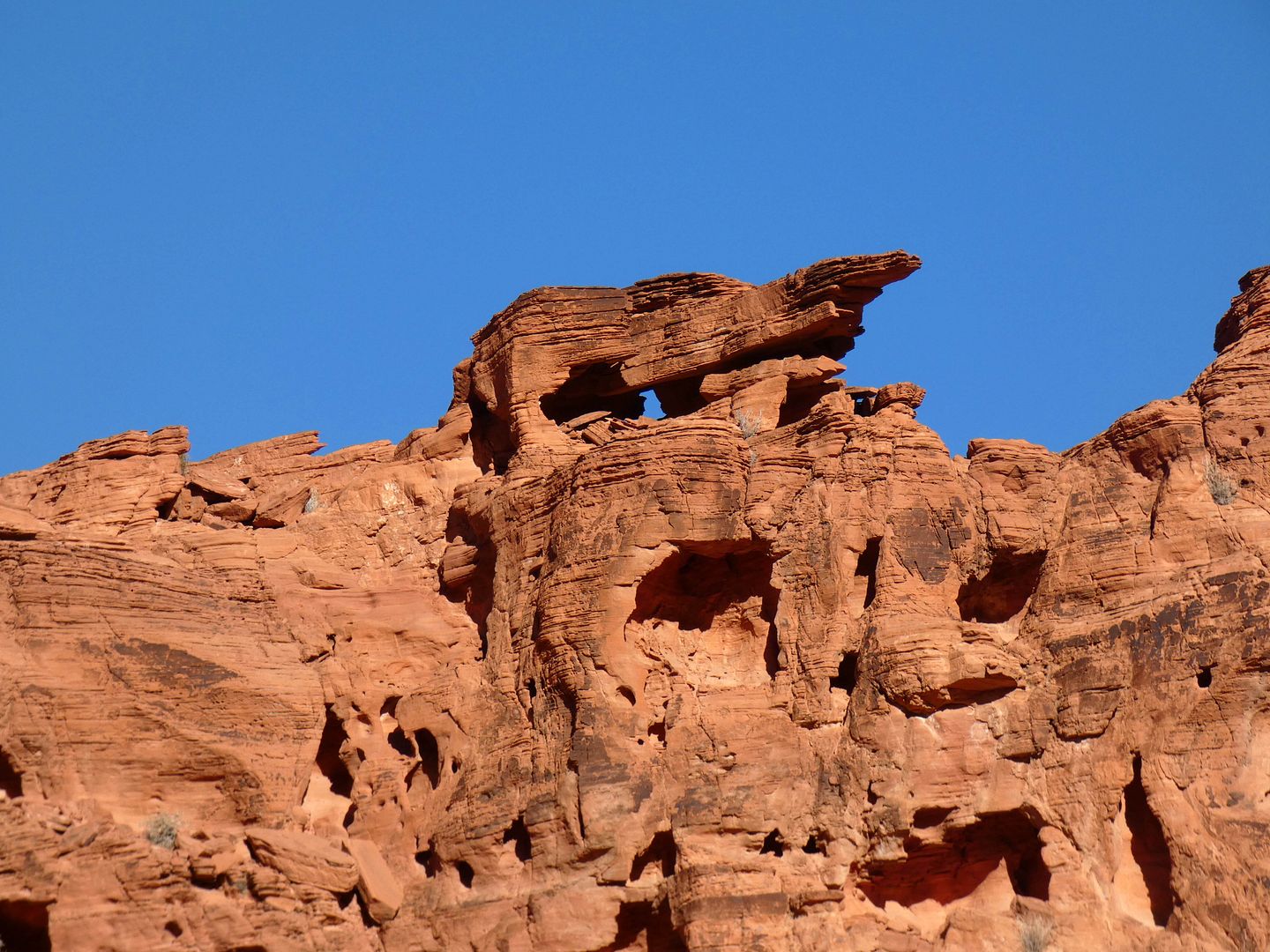

On our drive, rock climbers were exploring the spaces erosion left behind...

...careful not to hurt the fragile rock structures (or themselves, I hope).

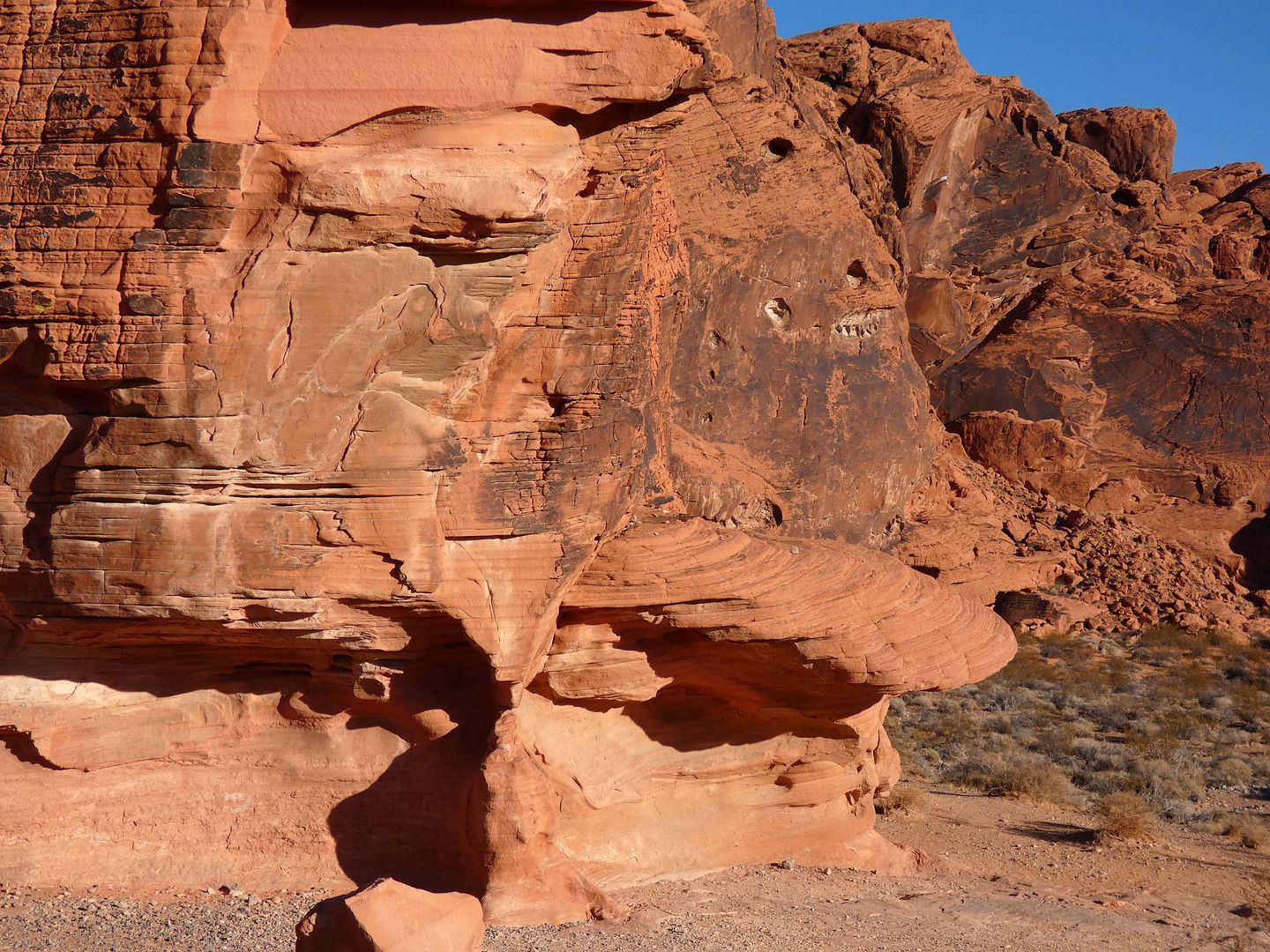
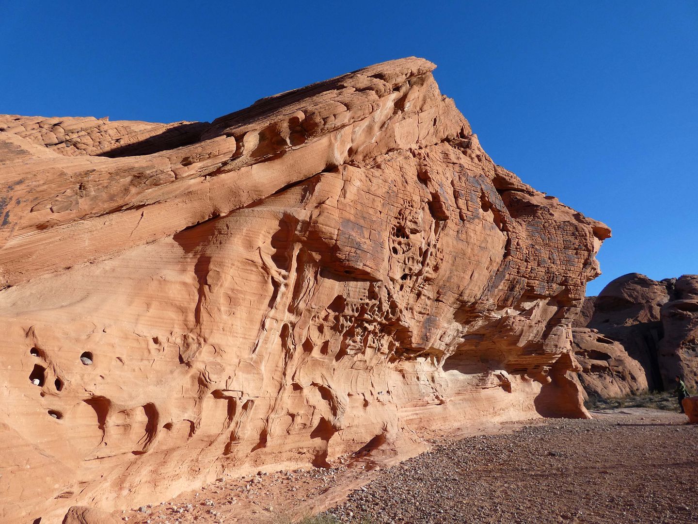
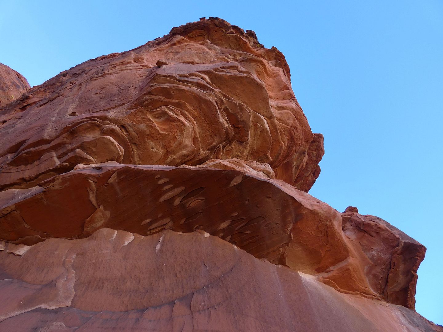
The longer you gaze at those pillars, spires, domes, and more, the trippier they start to look...

...and you wonder whether the rubble will animate into The Thing and start clobbering.

The sandstone seems to flow like mud, its red-rocky fingers reaching towards the road...

...which countless faces look on in monstrous expression. 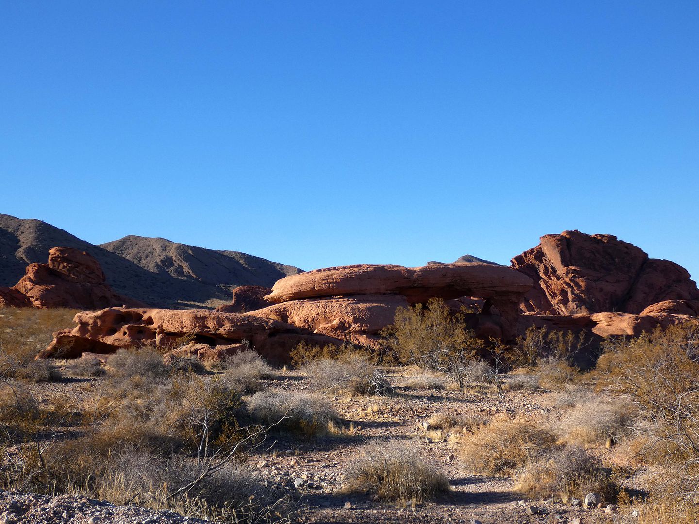

Another distinctive feature emerges: This time, it's Piano Rock (formerly called "The Grand Piano"), which only looks like a piano if you get it at the exact right angle (which is hard when you're riding in a car and not really stopping). 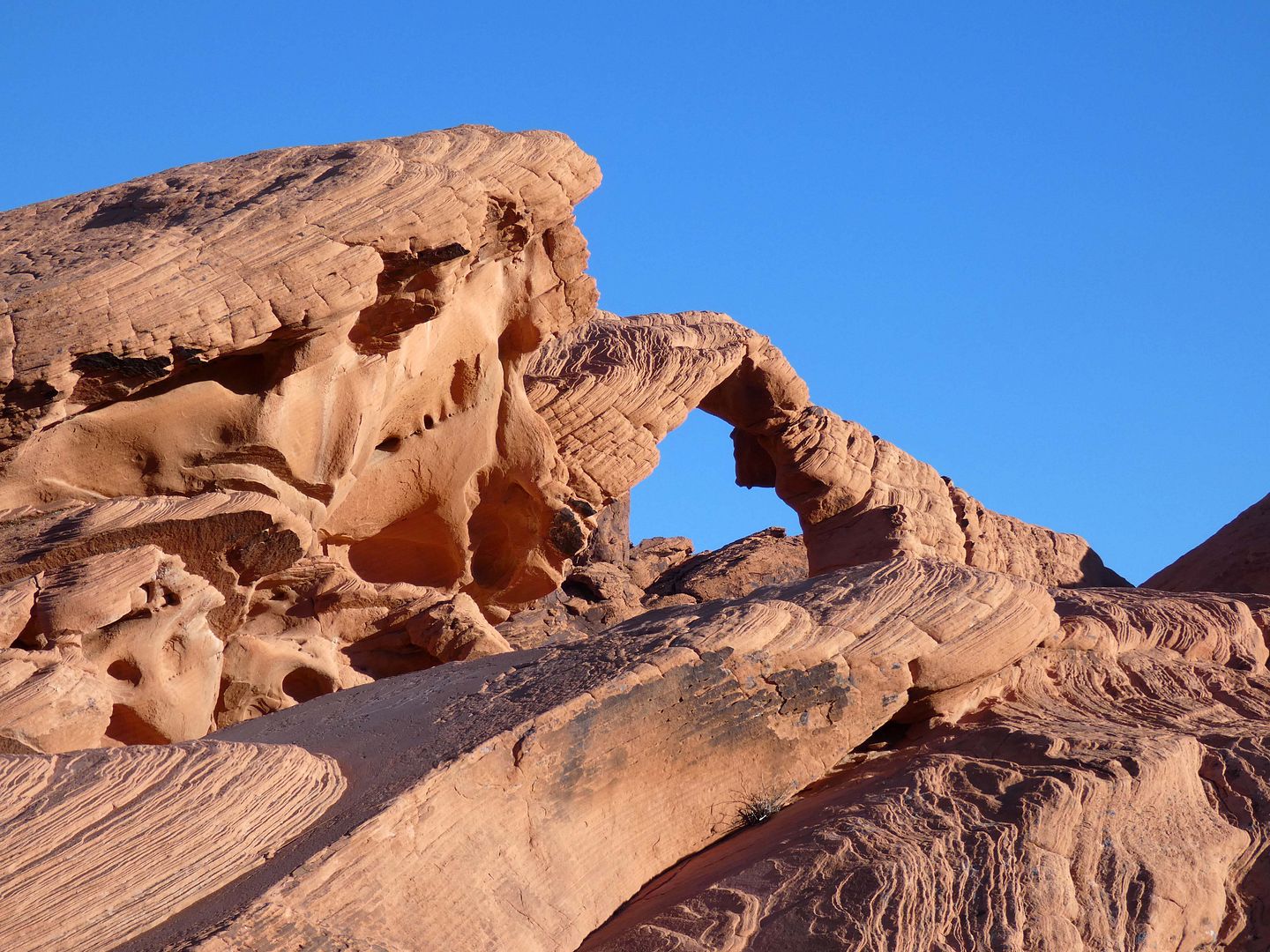
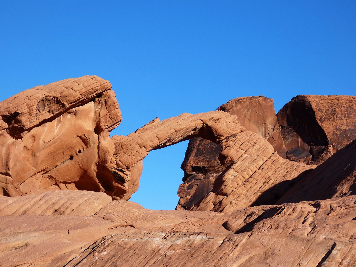
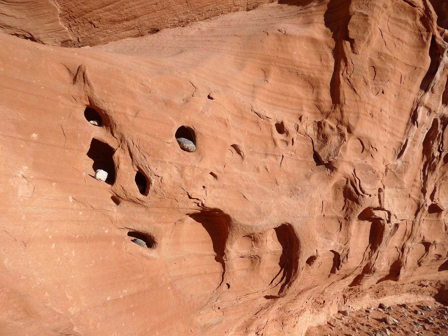
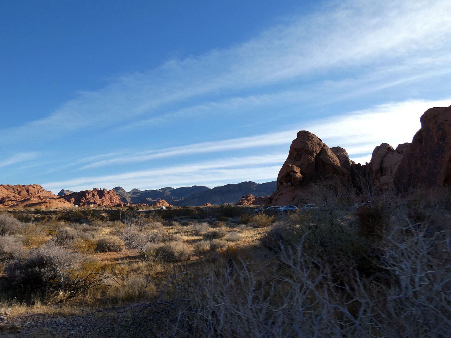
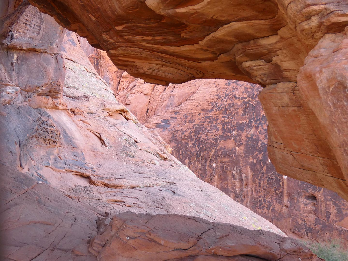

Just around the bend is Arch Rock, with a diminutive natural arch that's worth stopping for in the Valley of Fire...

...but wouldn't make much of an impression in, say, Utah.

But it's incredibly picturesque.

And here, in Nevada, this stop along the Scenic Loop gets plenty of attention from passersby, as well as from those staying at the adjacent campground.

Some even leave little treasures for others to find.

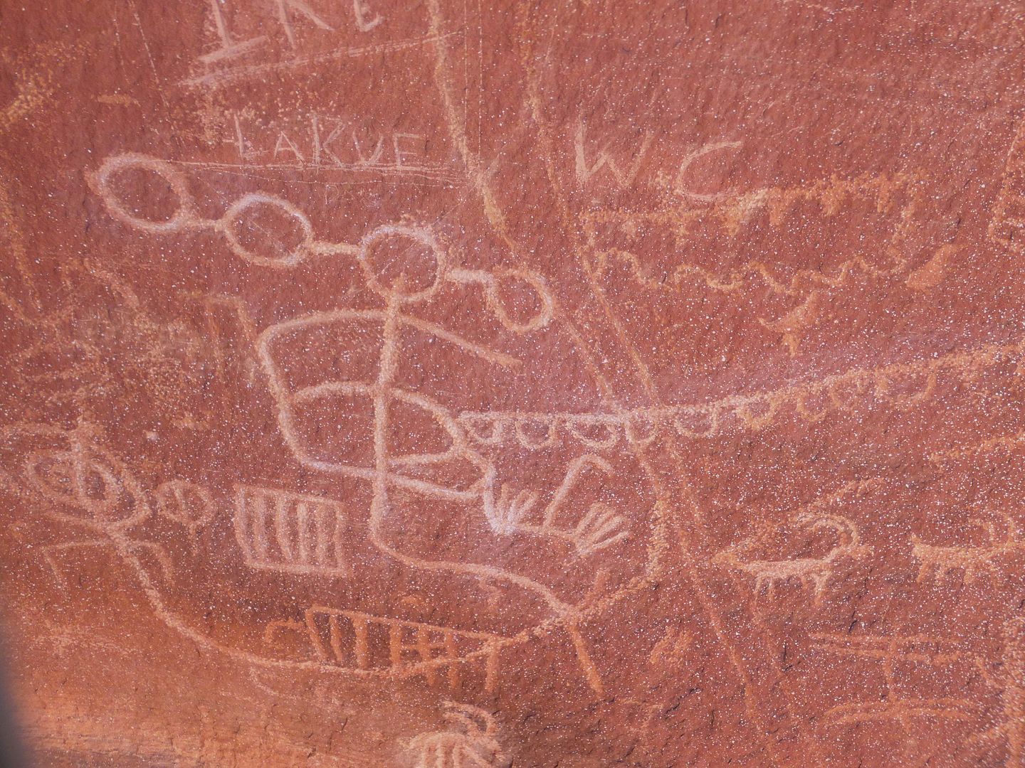
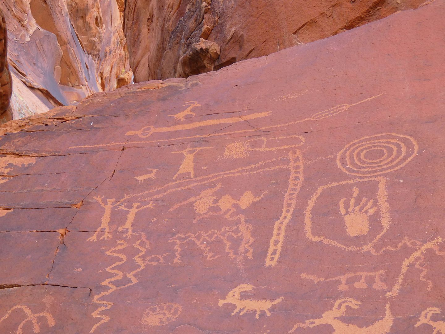
Some of the most significant treasures in all of Valley of Fire are the petroglyphs (Indigenous rock art)...

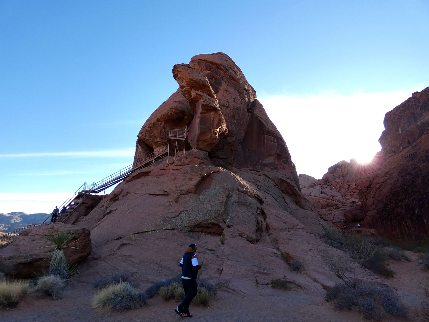
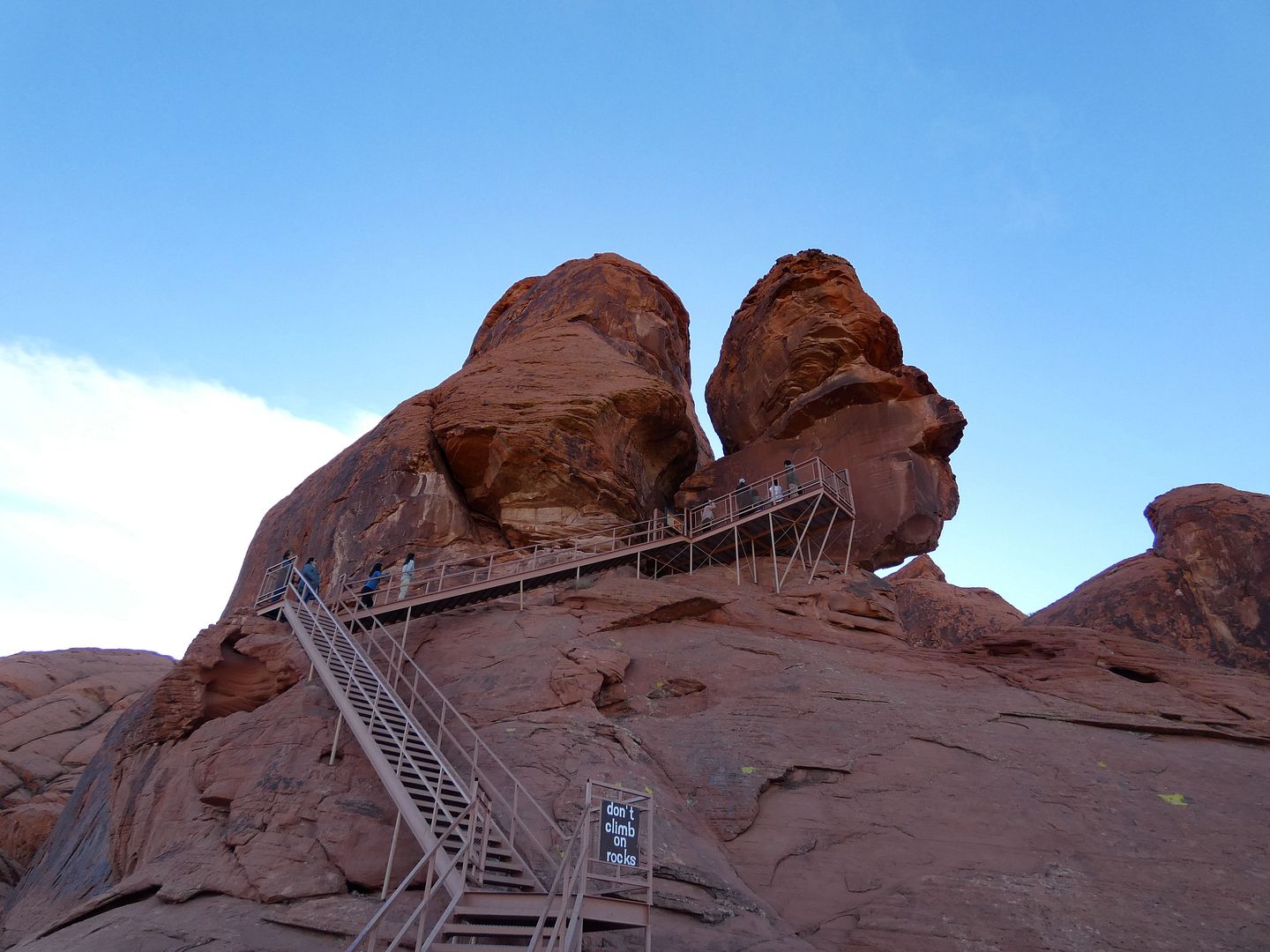
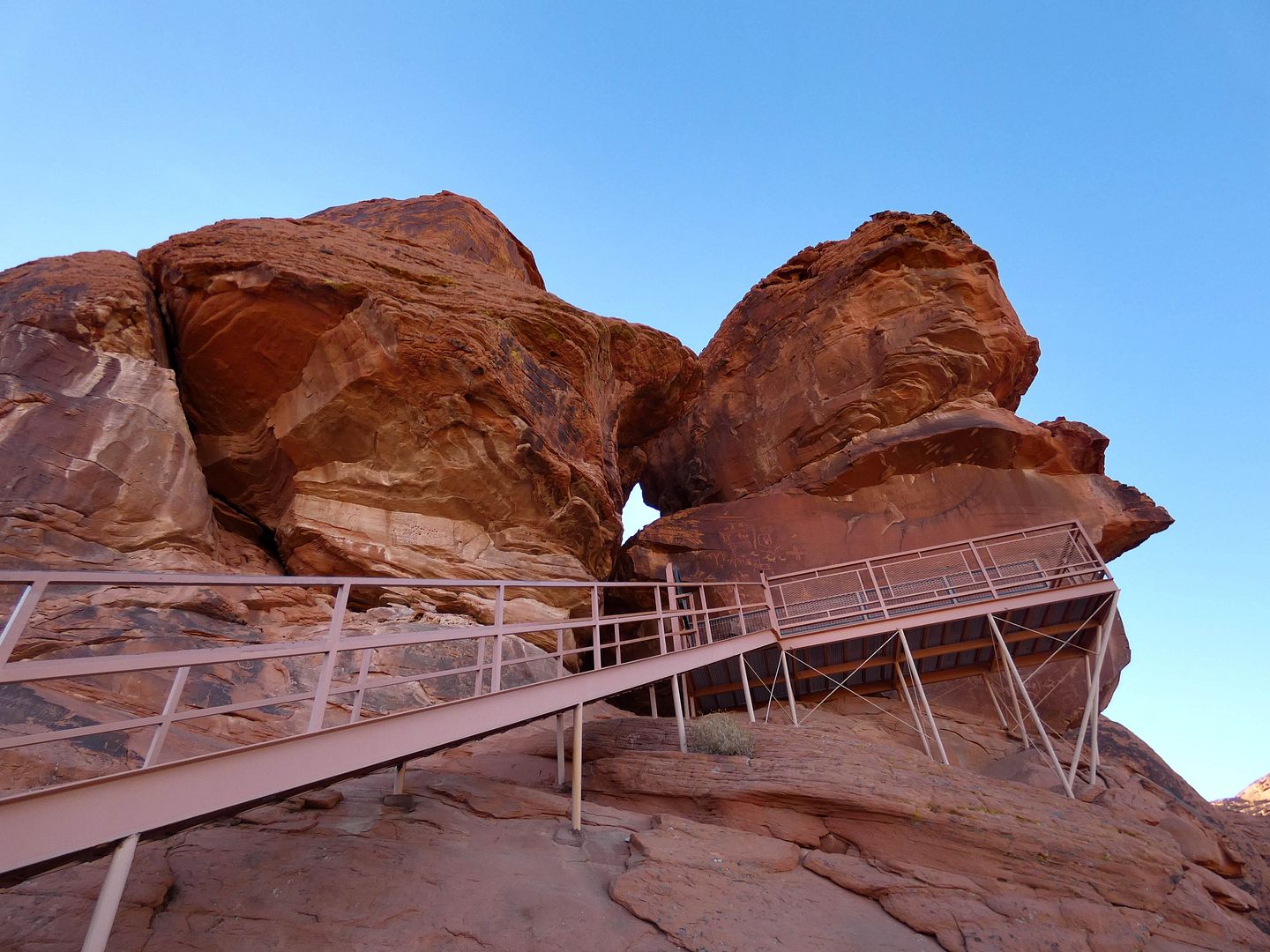
...particularly found at Atlatl Rock...

...where a staircase helps visitors climb up high enough to see them eye-to-eye.

It's a steep-stepped ascent to the carvings...

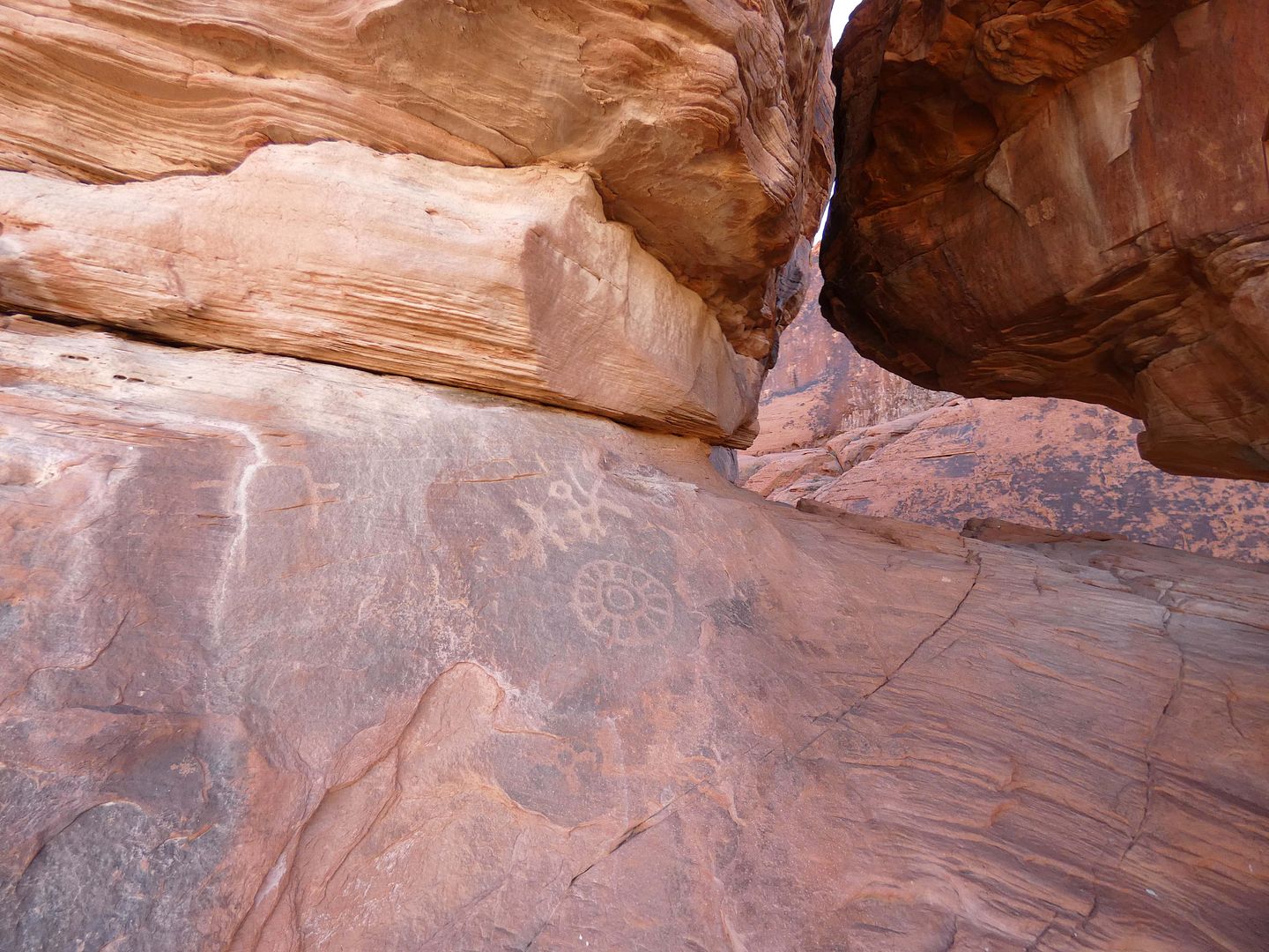
...which were created by scraping away dark desert varnish.

The Valley of Fire area was likely used by the residents of the "Lost City"—the former Pueblo Grande settled by Indigenous tribes (likely the Nuwu/Southern Paiute) along the banks of the Colorado River.

They likely didn't actually live in this part of the Moapa Valley...

...but judging by the markings they left behind as far back as 4000 years ago, they came to it for hunting and gathering.

This rock gets its name from its petroglyphic depictions of a weapon called an atlatl, a.k.a. a dart-thrower or "throwing stick" used to launch spears with great force. (That's the stick with a loop at one end, which appears at the top of the cluster of petroglyphs pictured above.)

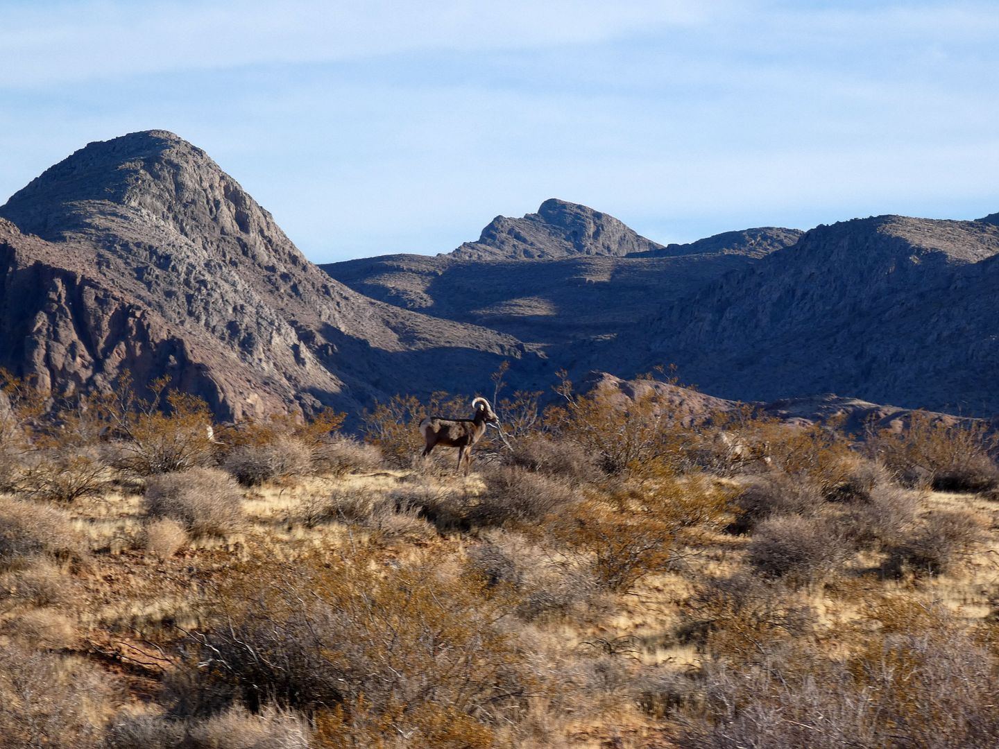
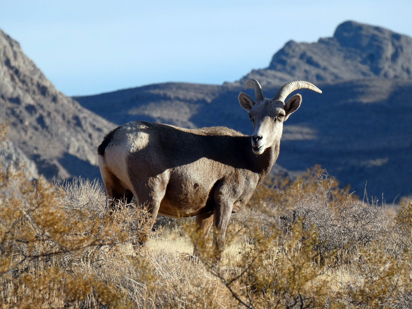
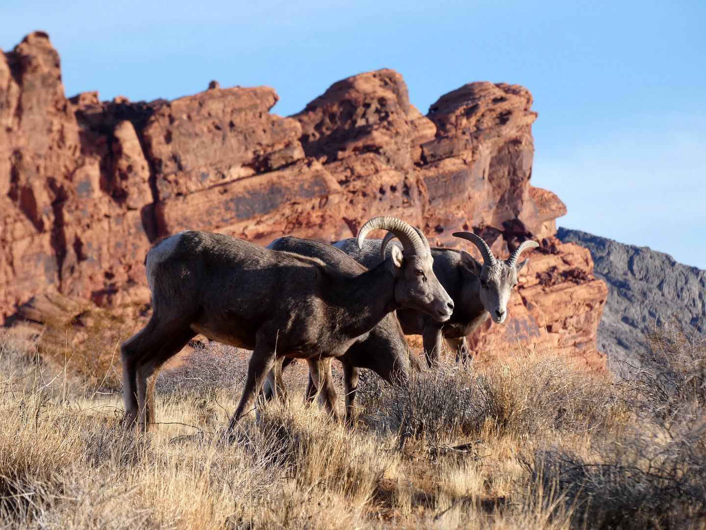
We ended our scenic exploration once the sun started to disappear—heading back to the Atlatl Campground and then slowing down when we finally spotted some bighorn sheep.

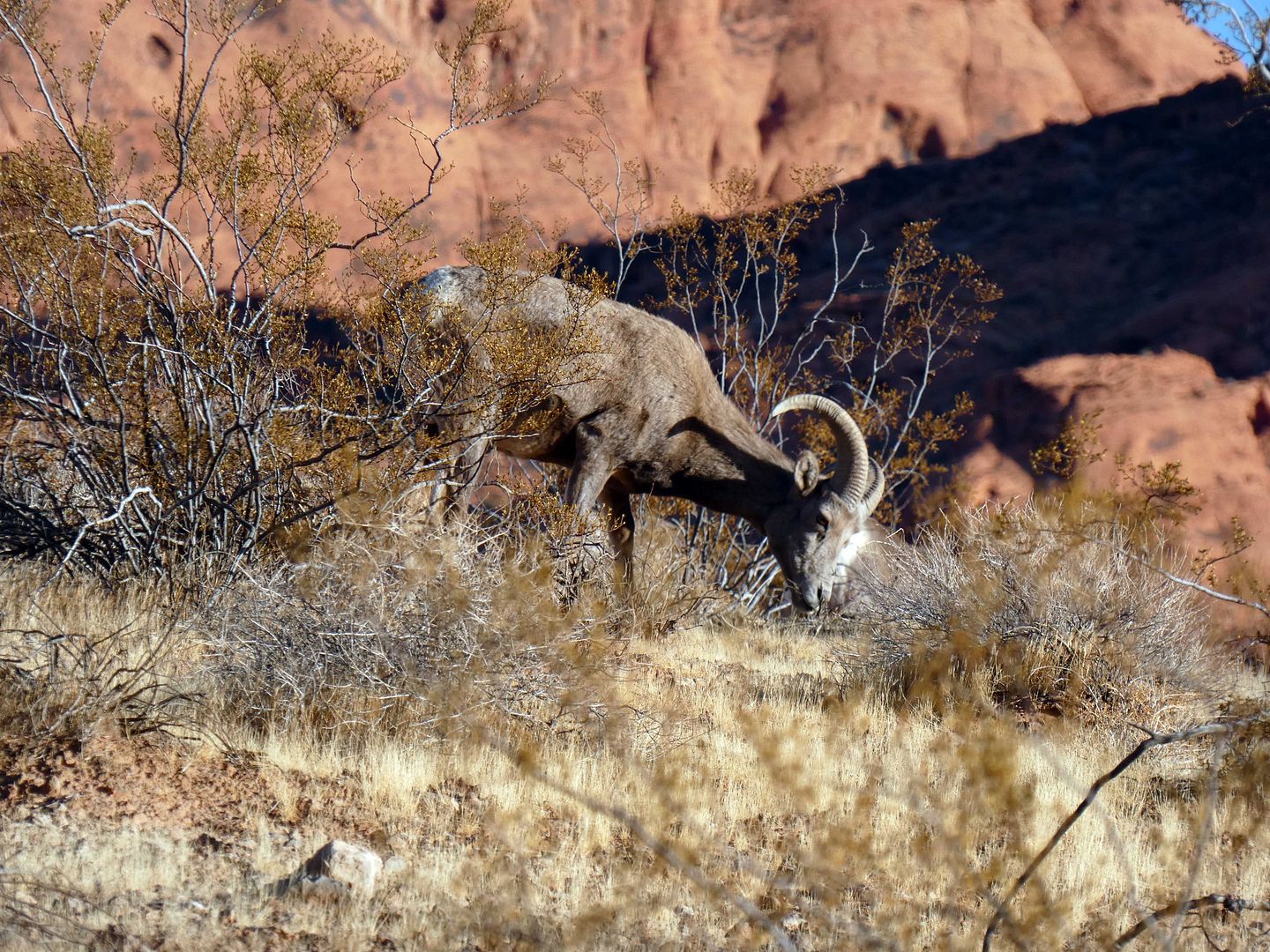
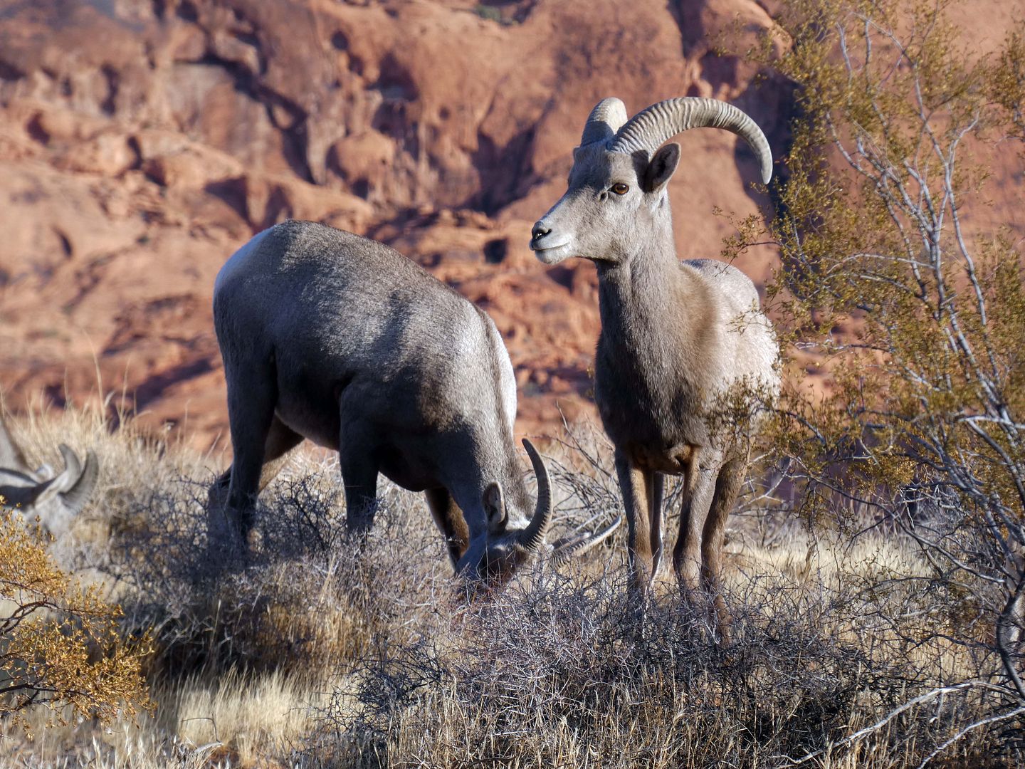
"Turn off the radio!" I stage-whispered, urging the rest of the car to be vewy vewy quiet as I tried to photograph them. Given the size and shape of their horns, I think those in the herd (which was six- or seven-strong) were mostly ewes (females) with maybe some juvenile rams that hadn't gone off on their own yet.

They were desert bighorn sheep (Ovis canadensis nelsoni), the same (sub)species as found in California. I'd never seen them at all in Nevada, despite them being the state's official animal. And I'd only ever spotted them once on the road to Zzyzx in California's Mojave National Preserve.

They're notoriously elusive, usually sticking to the tops of high, rocky cliffs (although sometimes they do come down to the flatlands to graze or for a drink of water, and have been spotted in California towns like Palm Springs and Borrego Springs and even in Boulder City, Nevada).

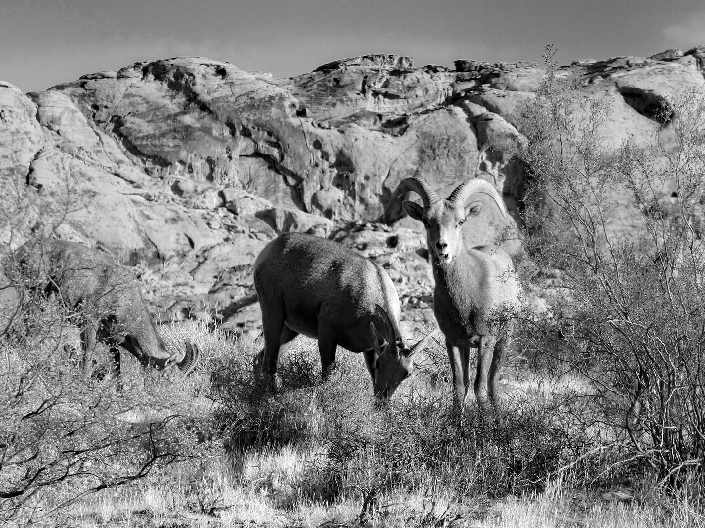
They saw us in our car—maybe even made eye contact with me—but they seemed to be used to a little traffic coming into the campground area.

Nonplussed, they continued munching away as I, astounded, kept gasping and telling my friends, "This is so freaking cool."
Related Posts:

No comments:
Post a Comment