I was in Southern Nevada for Thanksgiving to visit dear friends—practically family. So I wanted to spend plenty of time with them, but I also wanted to carve out an opportunity to go on a couple little adventures.
That sent me in search of one of the many gigantic, concrete arrows that dot the desert in the Battle Born state—well, actually two of them. I had to abort the mission in search of the first one, the one in Mesquite, since I was coming back from The Donkey Museum a little too late to have enough sunlight to navigate the rough dirt road to get to it.
So, two days later, I made a second try—this time to get to a second arrow, this one in the Moapa Valley community of Logandale, not far off the 15 Freeway.
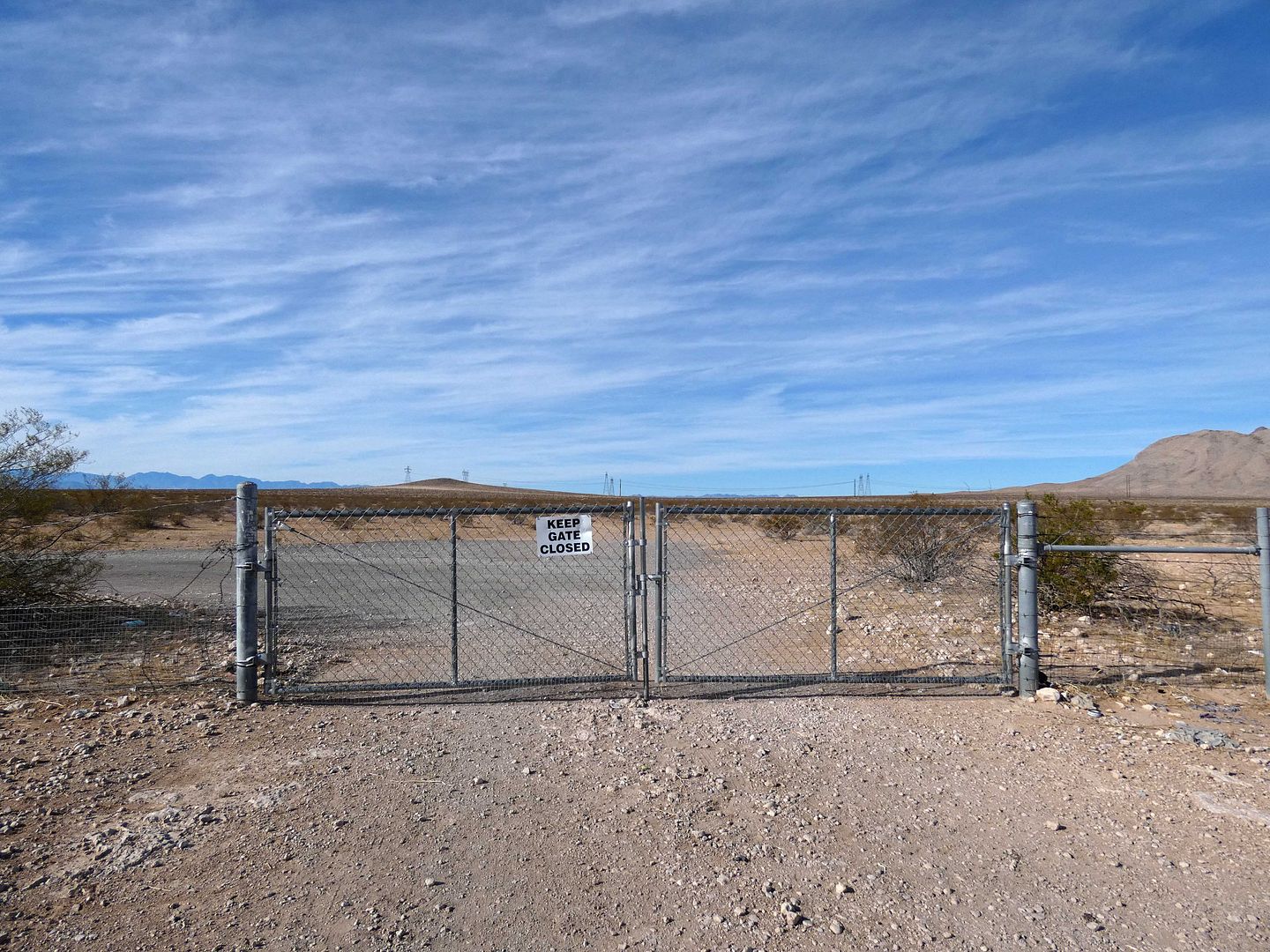
You'd never find it unless you were looking for it, mostly because getting to it requires driving through a closed (though unlocked) fence that leads to a service road up to some radio towers atop Beacon Hill.
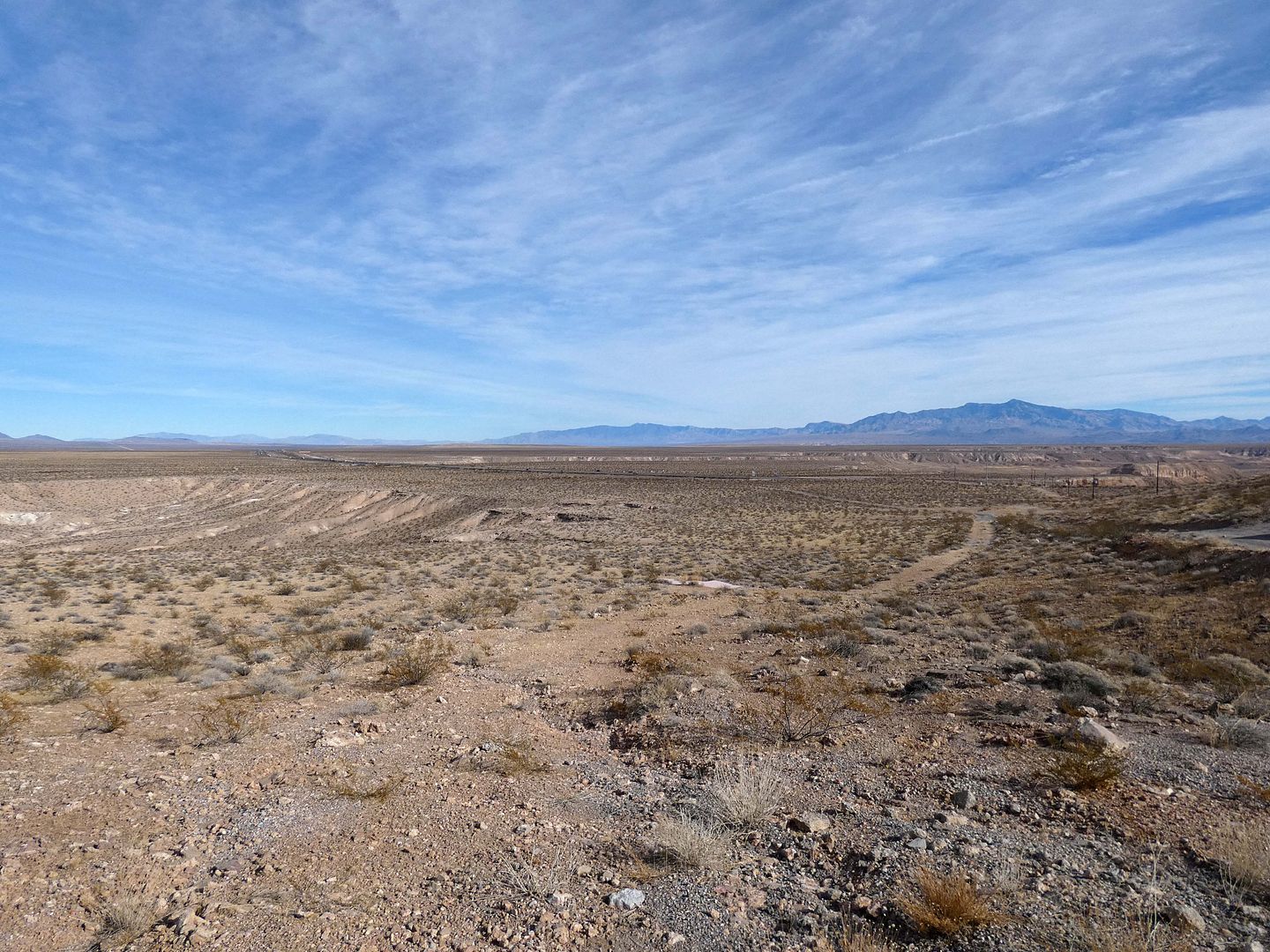
And even up on that dirt road, you'd have to know what you were looking for—because the flat arrows weren't really meant to be seen from the ground, but from the air.
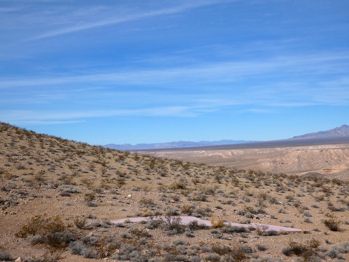
The arrows were installed in the days before radar was a thing—and all pilots could do to navigate themselves was look at what was on the ground (or orient themselves by the sun).
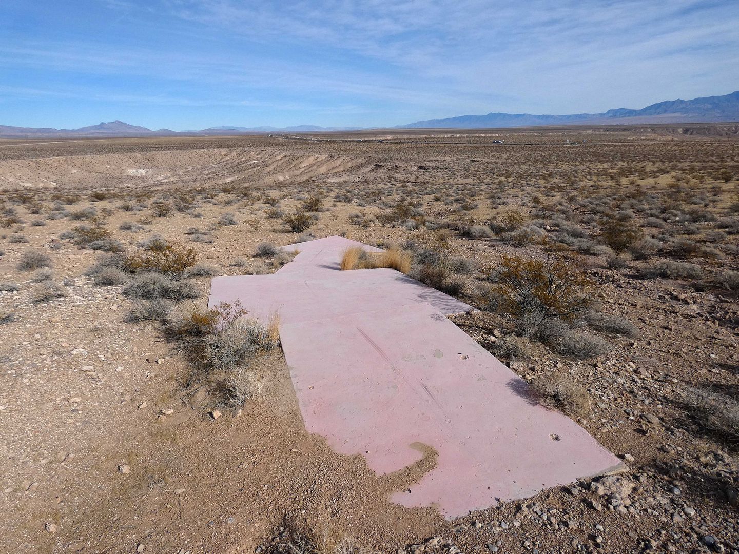
The arrows arose out of a need to deliver mail by air—both by the bright of day and by the gloom of night. These weren't a project of the U.S. Postal Service, but of the Department of Commerce, which took over transcontinental airmail in 1927 thanks to the Contract Air Mail Act of 1925 (a.k.a. the Kelly Act). That's what allowed for the privatization of some postal delivery services—and how private companies like Western Air Express got the contracts for airmail routes like this one.
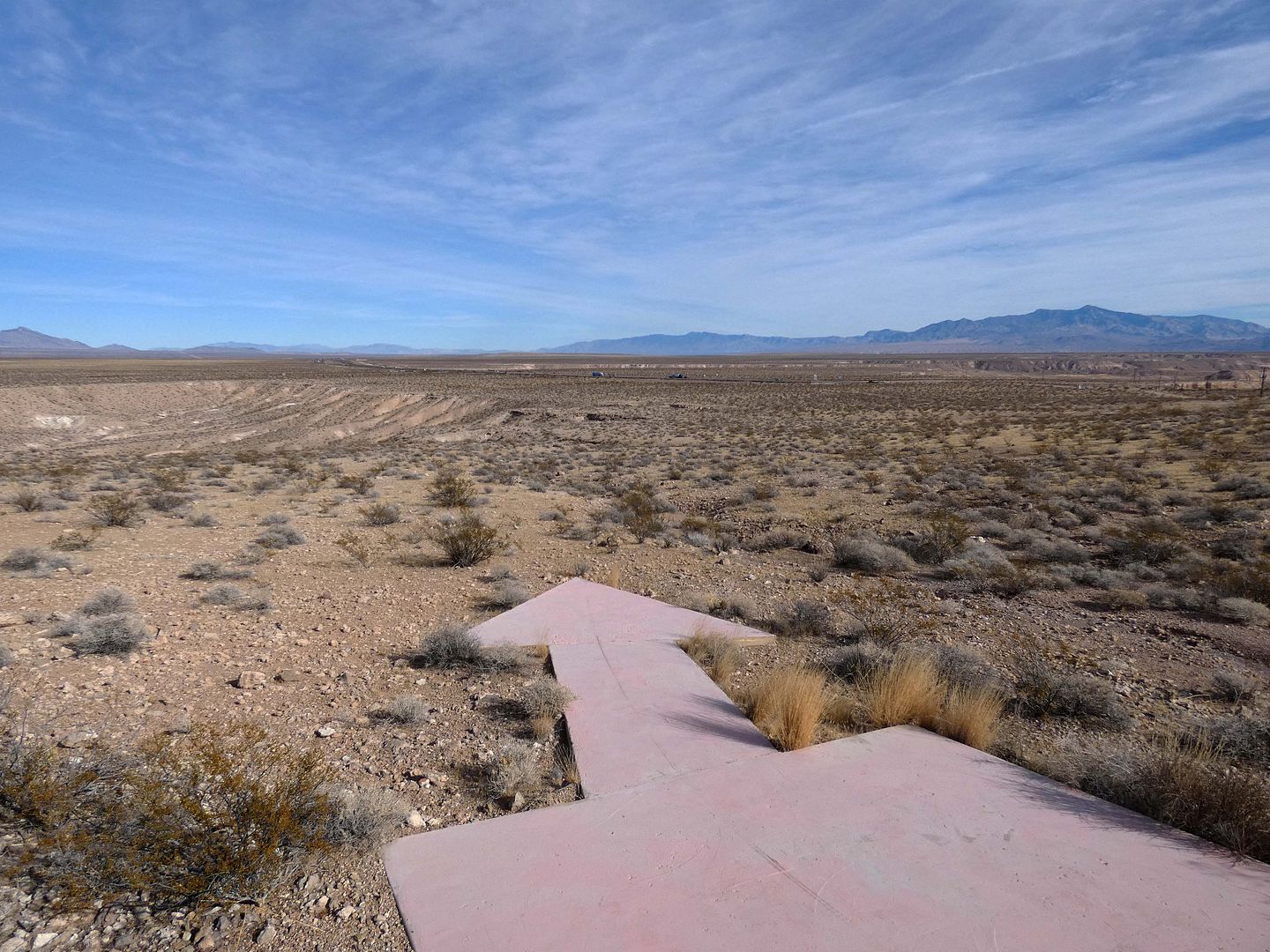
Each arrow, which pointed the correct way to go, was accompanied by a tower beacon whose light pilots could also follow—although many of them are long gone, like this one at beacon station 31A LA-SL. It's situated in the Mormon Mesa area of Nevada along Contract Air Mail route 4 (CAM-4), which went from Los Angeles to Salt Lake City (right through Las Vegas), and it's pointing towards Utah.
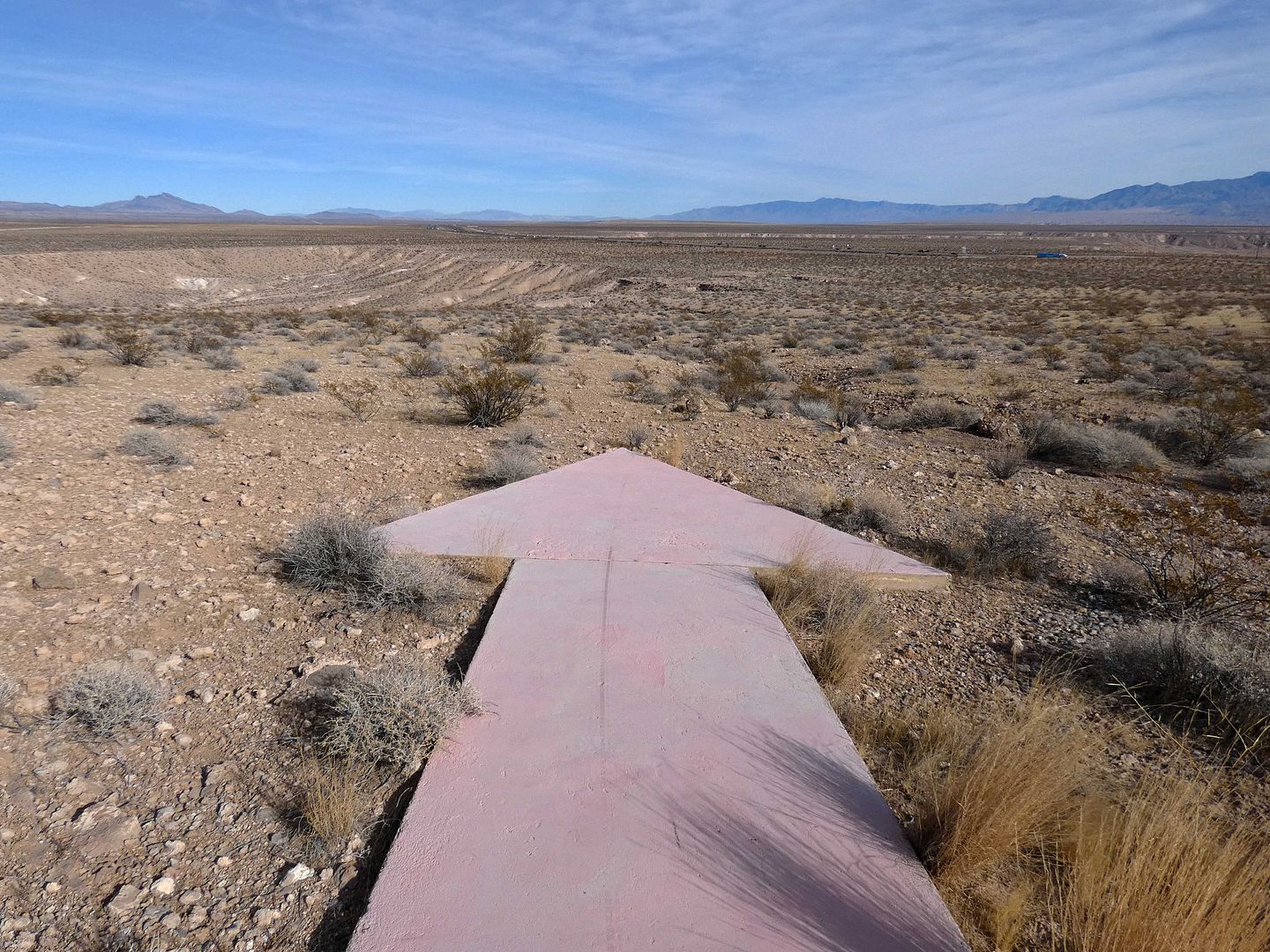
Today, it's an arrow to nowhere, its practical use faded into obsolescence.
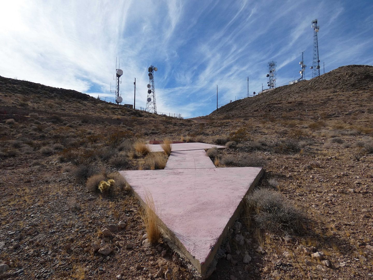
But it's a neat relic of another time—somehow fitting right in with the desert just like the monuments of the land art movement of the 1970s. (Not surprisingly, artist Michael Heizer's "Double Negative" earth art creation isn't too far from here.)
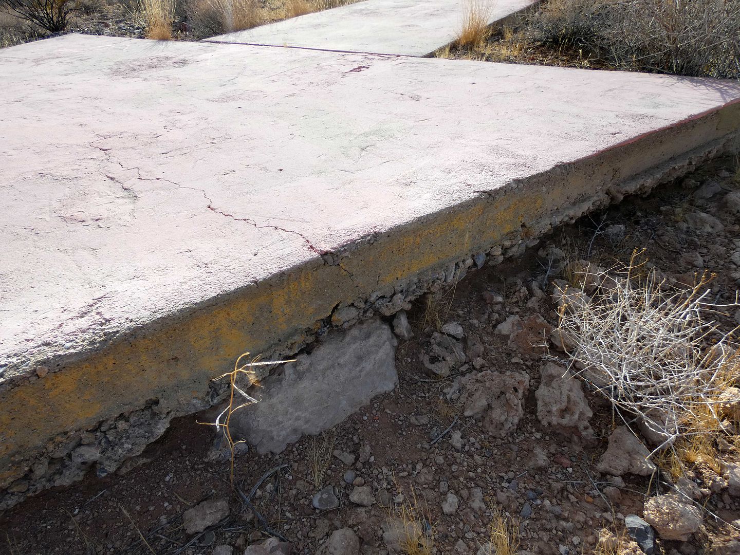
The arrows used to be painted caution yellow, but their color schemes have evolved over the decades after being decommissioned.
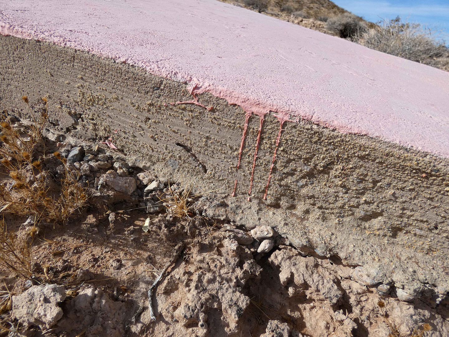
This one is a California pink, like the rosy skintone of The Beverly Hills Hotel or "The Pink Lady of La Jolla," La Valencia Hotel.
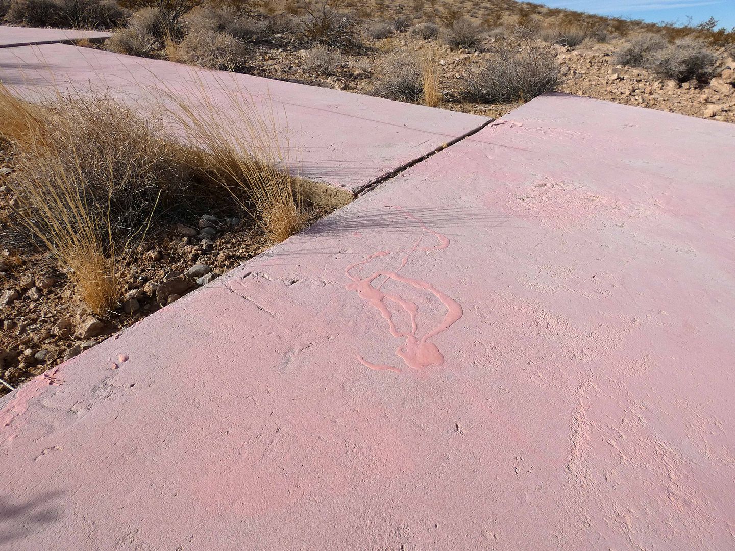
And it appeared to have been freshly touched-up. By whom? Nobody knows.
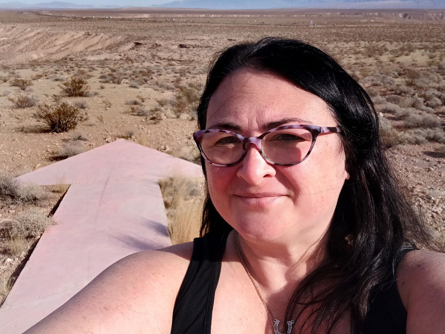
Human pictured for scale.
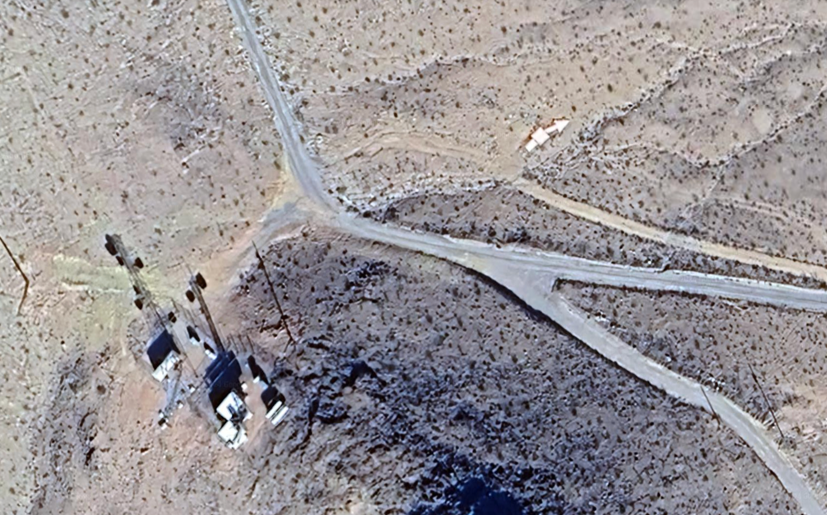
Screenshot: Google Earth
Some of the arrows actually have placemarks on Google Maps—but not all of them. Here's what they look like on Google Earth satellite view (above). You can almost see how this one is a "step-arrow" (or an arrow with a built-in step).
Related Posts:

What are the exact global coordinates? I'd like to see it on Google Earth for myself.
ReplyDelete36°41'06.5"N 114°31'04.1"W
DeleteYou can also search "Aviation Navigation Arrow" in Logandale or "Beacon Hill" in Moapa Valley, NV>